Difference between revisions of "Rükl 4"
(Created page with "<div id="content_view" class="wiki" style="display: block"> =Rükl Zone 4 - ARCHYTAS= <br /> Neighboring maps on the [http://the-moon.us/wiki/R%C3%BCkl%20Index%20Map Rükl...") |
|||
| Line 2: | Line 2: | ||
=Rükl Zone 4 - ARCHYTAS= | =Rükl Zone 4 - ARCHYTAS= | ||
<br /> Neighboring maps on the [http://the-moon.us/wiki/R%C3%BCkl%20Index%20Map Rükl Nearside Map]:<br /> <div id="toc"> | <br /> Neighboring maps on the [http://the-moon.us/wiki/R%C3%BCkl%20Index%20Map Rükl Nearside Map]:<br /> <div id="toc"> | ||
| − | + | ||
| − | |||
{| class="wiki_table" | {| class="wiki_table" | ||
| <br /> | | <br /> | ||
| Line 111: | Line 110: | ||
<br /> | <br /> | ||
---- | ---- | ||
| − | + | </div> | |
Revision as of 17:48, 15 April 2018
Contents
Rükl Zone 4 - ARCHYTAS
Neighboring maps on the Rükl Nearside Map:
| 4 |
||
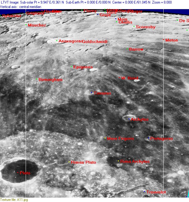
Photographic Map
(This map is based on an Earth-based photograph that has been computer-corrected to zero libration. The vertical white lines indicate the left and right boundaries of the Rükl rectangle)

  Background image source. See the North Pole page for the appearance of the features in the immediate vicinity of the pole at maximum libration.
Nearside Named Features
- Anaxagoras
- Archytas (Van Langren's Aristarchi, J.Hewelcke's Scopuli Hyperborei).
- Barrow (Van Langren's Amalfi).
- Birmingham
- Byrd
- Cape Plato (an unofficial name for the cape north of Plato, see the moonmap of Rand McNally).
- Challis
- Dorsa Timaeus (an unofficial name from D.Caes for the system of wrinkle ridges south of Timaeus, at Mare Frigoris).
- Dorsum Plato H (an unofficial name from D.Caes for the wrinkle ridge north of Plato H, the wrinkle ridge itself runs in Mare Frigoris).
- Epigenes
- Erlanger (near the northpole).
- Fibiger (near the northpole).
- Florey (near the northpole).
- Gioja
- Goldschmidt
- Gore (near the northpole).
- Hermite
- Hinshelwood (near the northpole).
- Kepleri (Van Langren's disallowed name for Protagoras Zeta).
- Lacus Niger Minor (J.Hewelcke's disallowed name for a low-albedo spot north of Montes Alpes).
- Main
- Mare Frigoris (the central part of it, northeast of Plato) (Van Langren's Mare Astronomicum, J.Hewelcke's Mare Hyperboreum).
- Montes Alpes (east-southeast of Plato) (see wiki-link for Montes Alpes at Chart 12).
- Montes Hyperborei (J.Hewelcke's disallowed name for the region from Fontenelle A to Scoresby).
- Mouchez
- North Pole
- North Polar Range (T.G.Elger's disallowed name for the mountainous region near the moon's north pole).
- Peary
- Plato (near the lower left corner of Chart 4, see Chart 3 for wiki-link) (Van Langren's Lacus Panciroli, J.Hewelcke's Lacus Niger Major).
- Protagoras (J.Hewelcke's Scopuli Hyperborei) (W.R.Birt's Ward).
- Regio Hyperborea (J.Hewelcke's disallowed name for the north polar limb area).
- Rima Archytas
- Rimae Plato
- Sacco (a disallowed name from H.P.Wilkins for Scoresby A).
- Scoresby (Van Langren's Hypparchi).
- Shackleton (a disallowed name from H.P.Wilkins for Gioja A).
- Timaeus (Van Langren's Timochari).
- Trouvelot (once called Levisky by F.C.Lamech).
- Sylvester-Nansen Basin (unofficial name).
- Terra Grandinis (Riccioli's discontinued name for the region east-southeast of Plato).
- Terra Siccitatis (Riccioli's discontinued name for the region north of Mare Frigoris) (Van Langren's Terra Honoris).
- Vallis Alpes (near the lower right corner of Chart 4, see Chart 12 for wiki-link).
- W. Bond
Farside Named Features
(The following features are not formally included in the present Rükl rectangle, but they are adjacent to it and their centers are less than 10° beyond the mean limb -- so they may be seen here in whole or in part with a favorable libration)
- Aepinus
- Bosch
- Hevesy
- Lenard (see Additional Information below).
- Lloyd's mountain (or Peter Lloyd's mountain) (87.8 degrees north, 150 degrees west, on the rim of Rozhdestvenskiy). Mentioned by Peter Lloyd in Chuck Taylor's LUNAR OBSERVING group.
- Plaskett
- Rozhdestvenskiy
- Whipple
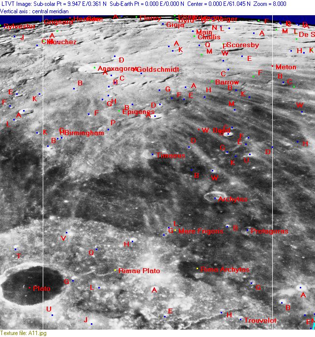
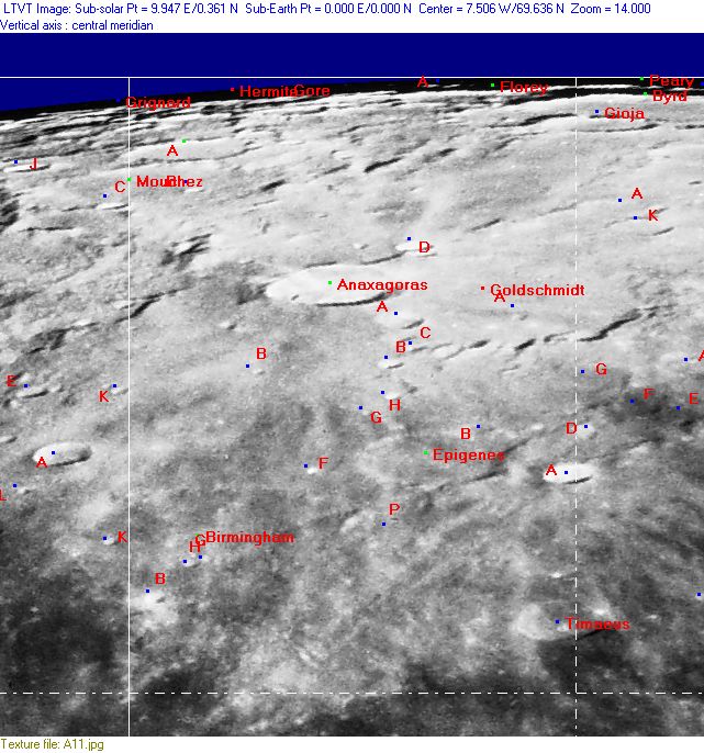
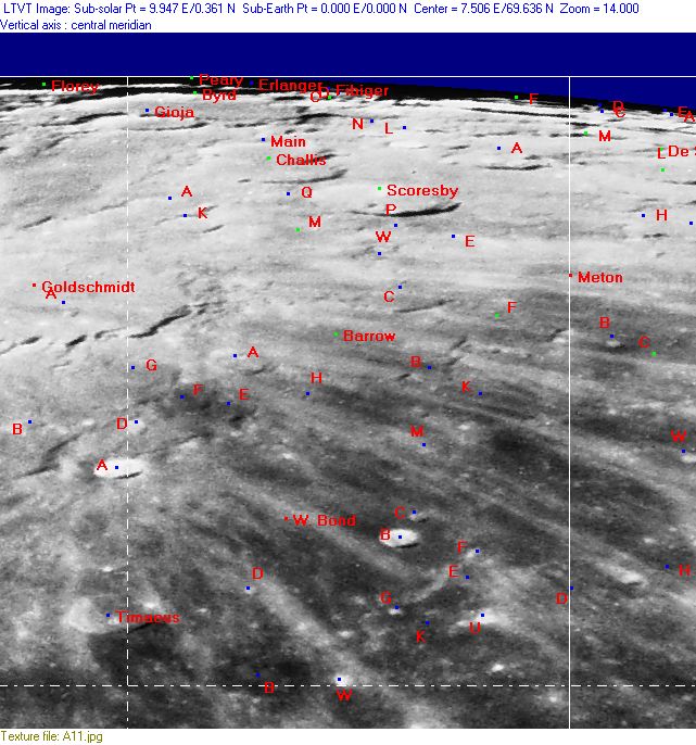
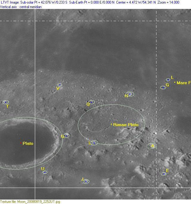
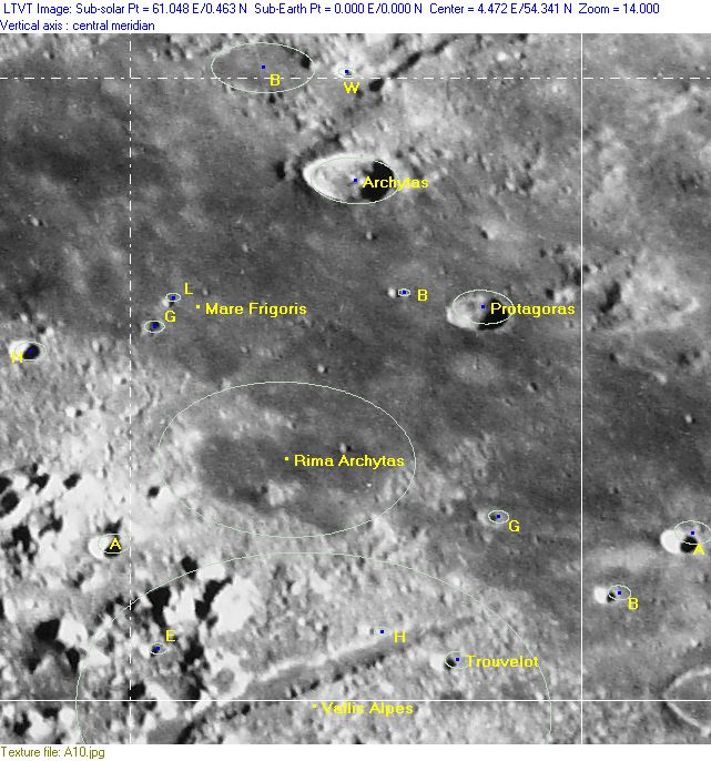
Lettered Crater Locations
(click on the thumbnails to display full-sized images; use browser BACK button to return - the dashed white lines are the midpoints of the Rükl zones)

  Full zone with lettered craters:


  Lettered craters by quadrants:
| North West |
North East |
| South West |
South East |
Additional Information
- Other online descriptions of features in this Rükl map section:
Lenard
- A bay-shaped crater at the farside part of Hermite's rim is officially called Lenard since 2008. It could be observed during favourable libration. See also LAC 1 in B.Bussey's and P.Spudis's Clementine Atlas of the Moon.
