Rükl 74
Contents
Rükl Zone 74 - MANZINUS
Neighboring maps on the Rükl Nearside Map:
| 74 |
||
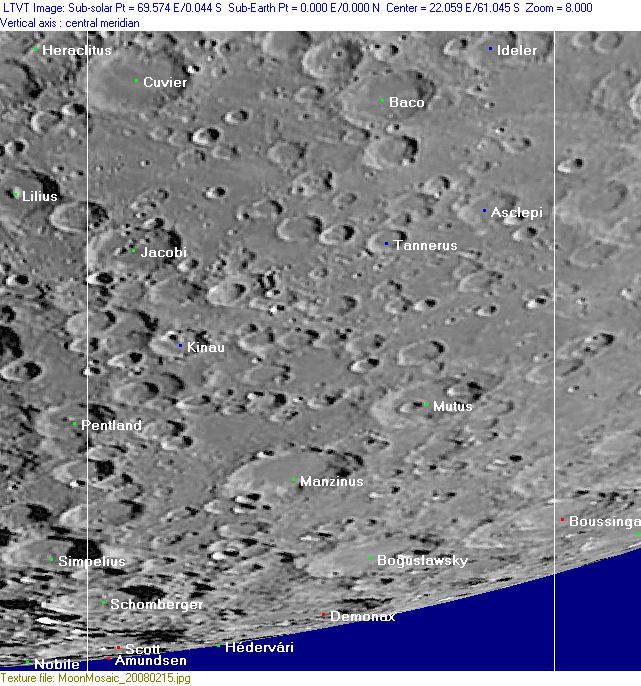
Photographic Map
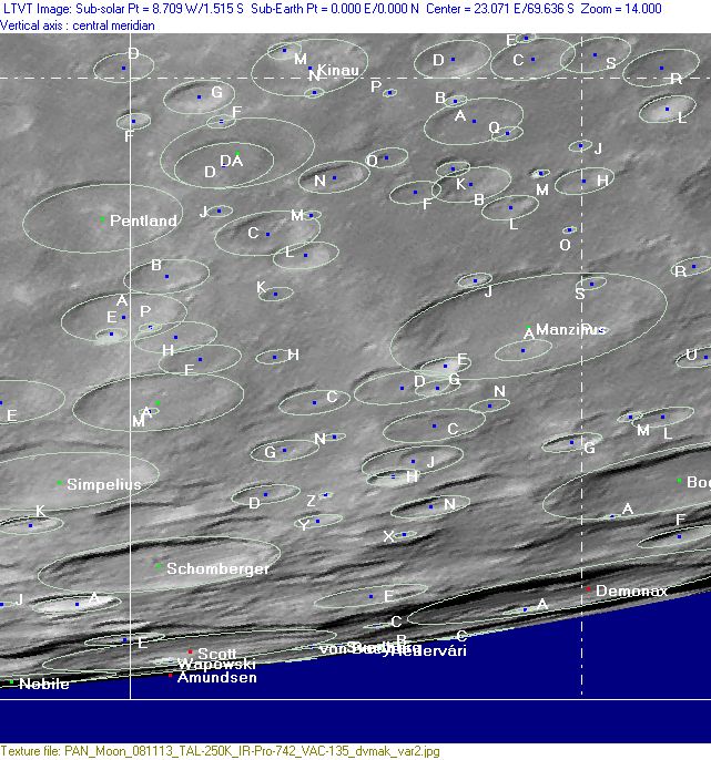
(This map is based on an Earth-based photograph that has been computer-corrected to zero libration. The vertical white lines indicate the left and right boundaries of the Rükl rectangle)

  Background image source
Nearside Named Features
- Amundsen
- Asclepi (Van Langren's Caleni).
- Asiae pars (J.Hewelcke's disallowed name for the south-southeastern limb region, although E.A.Whitaker isn't really sure about that).
- Baco
- Boguslawsky
- Chandrayaan-2's possible landingsite between Manzinus C and Simpelius N, see: http://bit.ly/2E9fOg5
- Cortes (a disallowed name from H.P.Wilkins for Demonax A).
- Cuvier
- Demonax (called Jungnitz by J.H.Franz).
- Hédervári
- Ideler (Van Langren's Derienni).
- Jacobi (Van Langren's Caroli D. Mant.).
- Kinau
- Manzinus
- Moleri (Van Langren's disallowed name for Baco B).
- Mutus (Van Langren's Casimiri Pol. P.).
- Mutus-Vlacq Basin (an unofficial name) (see also Rukl Zone 75).
- Rho (Van Langren's disallowed name for Clairaut A) (?) (E.A.Whitaker seems to be uncertain about that one).
- Schomberger
- Scott
- Svedberg
- Tannerus
- Terra Fertilitatis (Riccioli's discontinued name for the whole of Chart 74).
- Vallis Zach-Tannerus (or Vallis Tannerus-Zach) (an unofficial name from D.Caes for some sort of valley-like or chain-like groove north of Zach, running all the way eastward to the south of Tannerus and Asclepi) (see also Chart 73).
- von Baeyer
- Wapowski
Farside Named Features
(The following features are not formally included in the present Rükl rectangle, but they are adjacent to it and their centers are less than 10° beyond the mean limb -- so they may be seen here in whole or in part with a favorable libration)
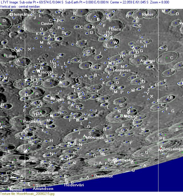
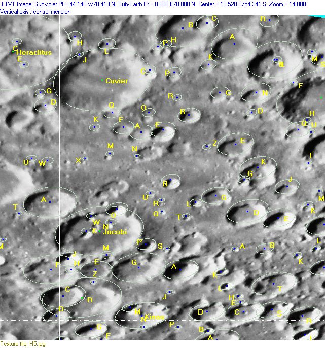
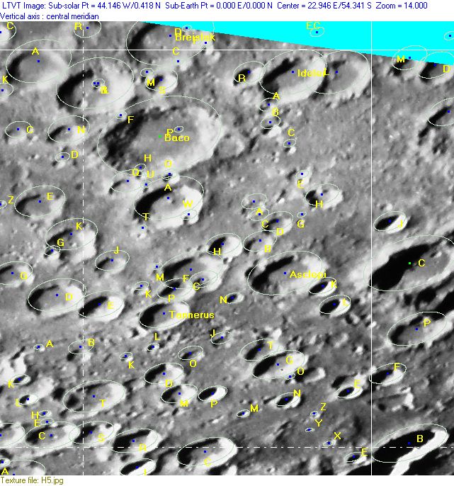
Lettered Crater Locations
(click on the thumbnails to view full-sized images; use browser BACK button to return to this page)
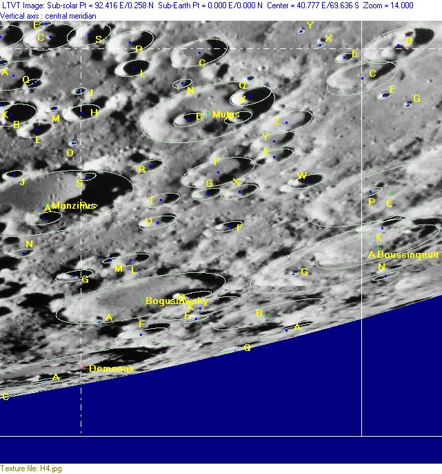
Full zone with lettered craters
Lettered craters by quadrants
(the dashed white lines are the centerlines of the Rükl zones)
| North West |
North East |
| South West |
South East |
Additional Information
- Other online descriptions of features in this Rükl map section:
Visibility of the southern part of the farside's Southpole-Aitken Basin
When the libration is favourable for the limb regions near the southpole, something of the farside's Southpole-Aitken Basin could be seen as a system of parallel looking layers between the southern craters. These layers are segments of the southernmost (and earth-faced) part of this giant basin. - DannyCaes Oct 13, 2015
