Rükl 50
Contents
Rükl Zone 50 - DARWIN
Neighboring maps on the Rükl Nearside Map:
| 50 |
||
Photographic Map
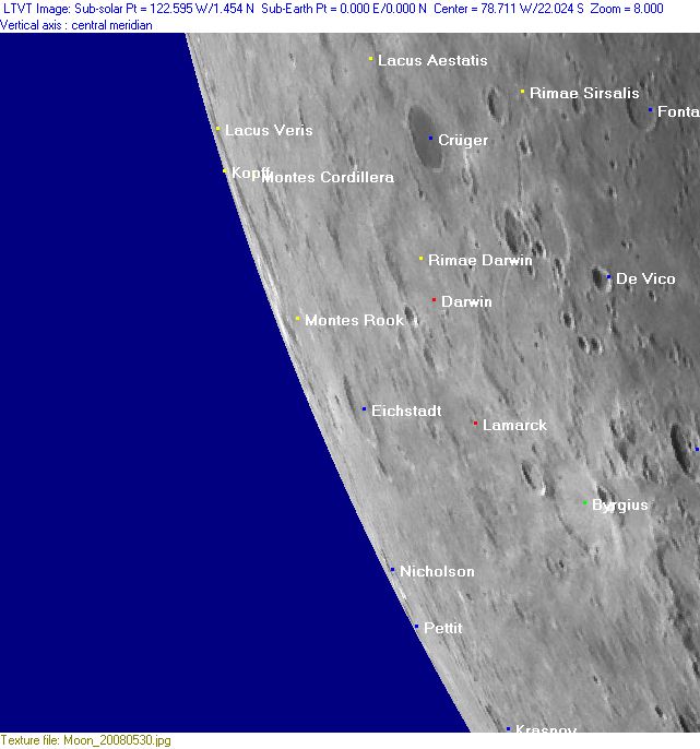
(This map is based on an Earth-based photograph that has been computer-corrected to zero libration. The vertical white lines indicate the left and right boundaries of the Rükl rectangle)

  Background image source
Nearside Named Features
- Basin U2 (see description at Additional Information below).
- Byrgius (J.Hewelcke's Mons Acabe) (together with the nearby high-albedo raycrater Byrgius A).
- Byrgius Cleft (an informal name from W.Goodacre for a cleft-like formation near Byrgius, needs investigation).
- Crüger (Van Langren's Scala, J.Hewelcke's Amari, Fontes).
- Darwin
- Eichstadt
- Fresa (a disallowed name from H.P.Wilkins for Lagrange B).
- Juan (a disallowed name from H.P.Wilkins for a crater northeast of Lagrange B (Fresa) and Lagrange G, south of Mare Orientale).
- Kopff
- Krasnov
- Lacus Aestatis
- Lacus Veris
- Lamarck
- La Paz (a disallowed name from H.P.Wilkins for the high-albedo raycrater Byrgius A on the eastern rim of Byrgius itself).
- Lybiae pars (J.Hewelcke's disallowed name for the west-southwestern limb area).
- Montes Cordillera
- Montes Rook
- Nicholson
- Pettit
- Profund. Desplaces (J.H.Schroter's disallowed name for a crater (?) somewhere south of the Grimaldi region, probably a libration-zone formation near Mare Orientale).
- Rimae Darwin
- Rimae Kopff
- Rimae Sirsalis
- Terra Caloris (Riccioli's discontinued name for the whole of Chart 50).
- Terra Iustitiae (Van Langren's disallowed name for the whole of Chart 50).
Farside Named Features
(The following features are not formally included in the present Rükl rectangle, but they are adjacent to it and their centers are less than 10° beyond the mean limb -- so they may be seen here in whole or in part with a favorable libration)
- Hohmann
- Il'in
- Mare Orientale
- Mare Pacificus (unofficial name, also known as: Orientale Dark Mantle Ring Deposit) (see also Rukl's 61 for the southern part of it).
- Maunder
- Maw (or: The Maw) (a nickname from C.A.Wood for the curious football-shaped gouge at the centre of Mare Pacificus) (see LPOD The Maw).
- Rimae Focas
- Rimae Pettit
- Shuleykin
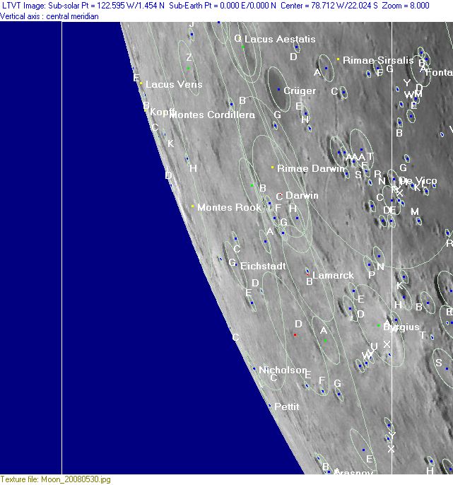
Lettered Crater Locations
(click on the thumbnails to view full-sized images; use browser BACK button to return to this page)
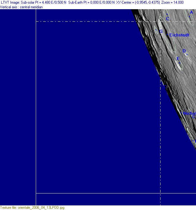
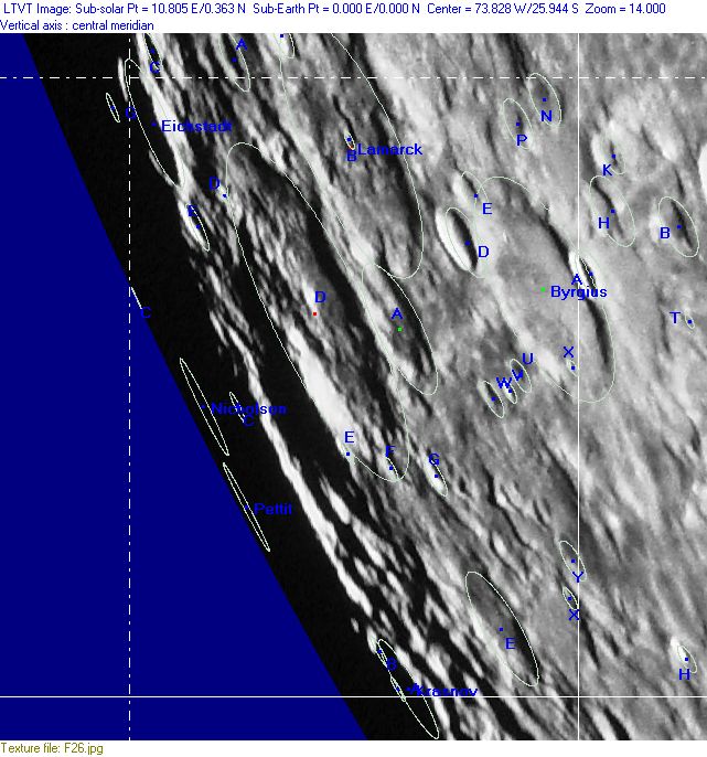
Full zone with lettered craters
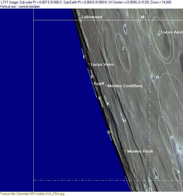
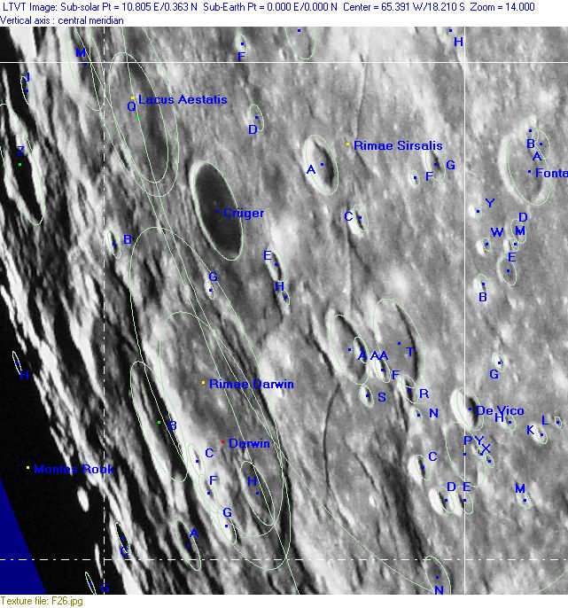
Lettered craters by quadrants
(the dashed white lines are the centerlines of the Rükl zones)
| North West |
North East |
| South West |
South East |
Additional Information
- Other online descriptions of features in this Rükl map section:
Basin U2
A location in (or somewhere near) Darwin should be the centre of an unnamed basin which is unofficially known as U2. See the nearside map in the page Lunar Basins List.
