Rükl 18
Contents
Rükl Zone 18 - ARISTARCHUS
Neighboring maps on the Rükl Nearside Map:
| 18 |
||
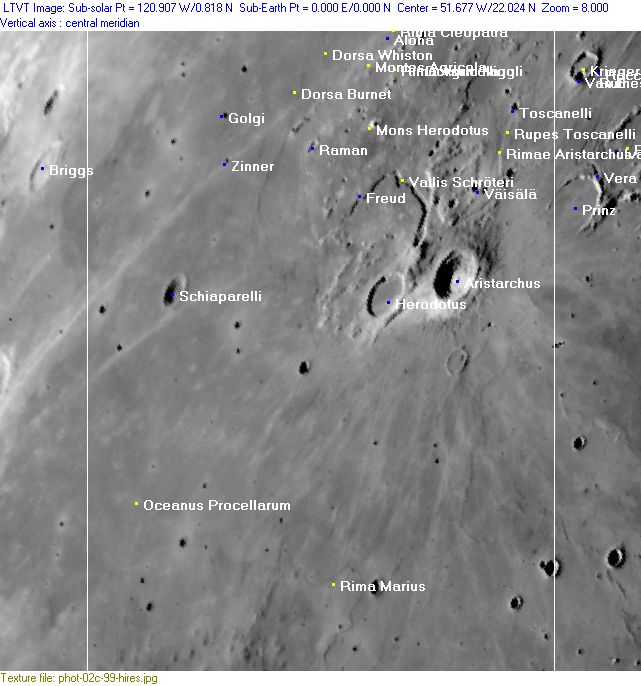
Photographic Map
(This map is based on an Earth-based photograph that has been computer-corrected to zero libration. The vertical white lines indicate the left and right boundaries of the Rükl rectangle)

  Background image source
Named Features
- Agricola straits (an unofficial name for the mare-like region between Montes Agricola and the Aristarchus Plateau, see Lunar Image of the Week 04/21/2009).
- Aloha
- Aristarchus (Van Langren's Balthasaris Hispa. Pri., J.Hewelcke's Mons Porphyrites).
- Aristarchus Plateau (informal name, including the mustard colored region known as Wood's Spot, see Additional Information below).
- Cobra Head (informal name, part of Vallis Schroteri).
- Collis Aristarchus (a disallowed name for the hilly region north of Aristarchus, see Lunar Topographic Orthophotomaps 38-B2, 38-B3, 38-B4, and 39-A4).
- Dorsa Burnet
- Dorsa Whiston
- Dorsum Aristarchus F (an unofficial name from D.Caes for the wrinkle ridge south of Aristarchus F).
- Dorsum Herodotus A (an unofficial name from D.Caes for the wrinkle ridge south of Herodotus A).
- Dorsum Marius P (an unofficial name from D.Caes for the wrinkle ridge south of Marius P, north of the Marius domefield).
- Dorsum Niggli
- Dorsum Schiaparelli (an unofficial name from D.Caes for the wrinkle ridge north-northeast of Schiaparelli).
- Freud
- Golgi (there's a small ghost crater northwest of it, between Lichtenberg A and Lichtenberg AA).
- Herodotus
- Herodotus fault/ scarp (an unofficial name from D.Caes for the fault or scarp south of Herodotus).
- Herodotus Lambda (hill at the western part of the Aristarchus plateau, aka the mustard colored Wood's spot).
- Herodotus Omega (dome south of Herodotus, between Herodotus A and Aristarchus U).
- Mc.Donald (a disallowed name from H.P.Wilkins for Aristarchus F, south of Aristarchus itself).
- Mons Herodotus (is, or was, called Herodotus Chi on Chart 24 in the Times Atlas of the Moon) (also known as L.S.Copeland's Star Tip Mountain, see Sky & Telescope - april 1956; Illusions that trap lunar observers).
- Montes Agricola
- According to chart 24 in the Times Atlas of the Moon, the southwestern end of Montes Agricola is (or was?) officially known as Herodotus Eta.
- The subdivisions of Montes Agricola were called Herodotus Eta (southwestern end), Herodotus Delta, Kappa, and Iota (the northeastern end) on chart SLC F3 (System of Lunar Craters, 1966).
- Oceanus Procellarum (Van Langren's Oceanus Philippicus).
- Pear (a nickname from D.Caes for the pear-shaped formation Bessarion B at the lower part of the right margin of Chart 18, see also Additional Information below).
- Prom. Mercurii (J.Hewelcke's disallowed name for a certain area near Aristarchus) (E.A.Whitaker seems to be uncertain about that one).
- Raman
- Richardi (a disallowed name from Langrenus for the distinct crater Marius B, very near Rima Marius).
- Rima Agricola
- Rima Chopin (a disallowed name for a rille north and west of Dorsum Niggli, see Lunar Topographic Orthophotomap 38-B2).
- Rima Cleopatra
- Rima Marius
- Rima Sibelius (a disallowed name for a rille east of Dorsum Niggli, see Lunar Topographic Orthophotomap 38-B2).
- Rimae Aristarchus
- Rupes Toscanelli
- Schiaparelli
- South AP (South Aristarchus Plateau Crater) (informal name).
- Toscanelli
- Väisälä
- Vallis Schröteri
- Wood's Spot (a well known unofficial name for the mustard colored region northwest of Aristarchus, also known as the Aristarchus Plateau, see Additional Information below).
- Zinner
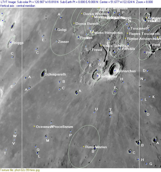
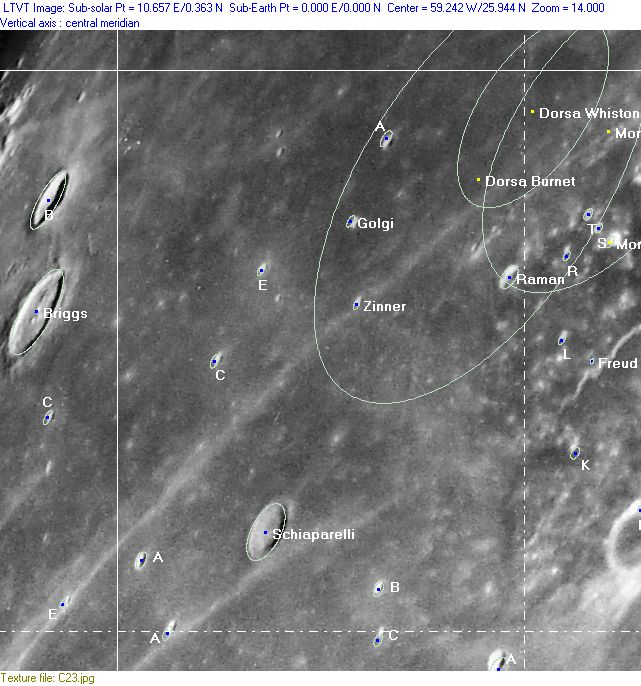
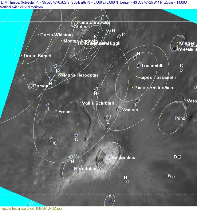
Lettered Crater Locations
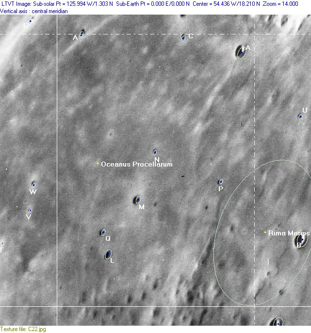
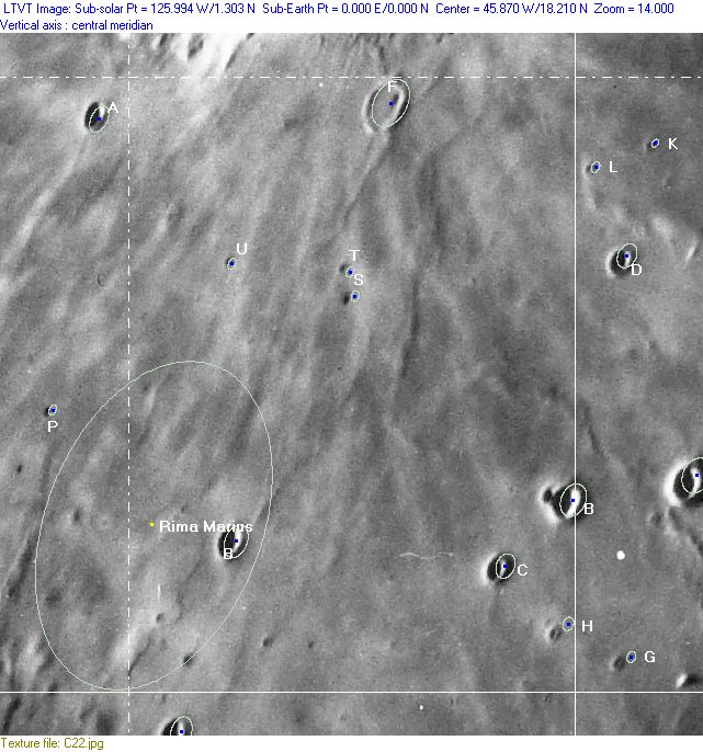
(click on the thumbnails to display full-sized images; use browser BACK button to return - the dashed white lines are the midpoints of the Rükl zones)

  Full zone with lettered craters:


  Lettered craters by quadrants:
| North West |
North East |
| South West |
South East |
Additional Information
- Other online descriptions of features in this Rükl map section:
The Aristarchus Plateau, aka Wood's Spot
- The upper right part of this map (the rather chaotic area north-northwest of Aristarchus and Herodotus) is the mustard-colored Aristarchus Plateau, of which its typical color was investigated by R.W.Wood (hence the area's nickname: Wood's Spot). It is the most distinct one of the moon's colored regions, and it is observable through all sorts of telescopes, especially during and after Full Moon (from Full Moon to Last Quarter Moon).- DannyCaes Nov 6, 2008 See also: Colored Regions on the Moon, Part 1
Aristarchus vs Tsiolkowsky
- At 20° North/ 51°30' West (about 150 kilometers southwest of Aristarchus) is the antipode of Tsiolkowsky's central peak. This is a rather curious fact! To know that the "brightest" crater on the moon's near side (Aristarchus) and the "darkest" crater on the moon's far side (Tsiolkowsky) are almost exact antipodes of each other!- DannyCaes Nov 20, 2008
The Pear (Bessarion B)
- Bessarion B, the odd pear-shaped formation of two craters connected by a straight elevated line. This connection must look very impressive on the location, especially for astronauts walking on the straight elevation. Imagine: a crater at left, a crater at right, and in the middle some sort of four kilometer long bridge. - DannyCaes Nov 18, 2015.
- A similar formation is the couple Fontenelle C and Fontenelle F on Chart 3 (the same sort of straight elevated line between the two craters). - DannyCaes Nov 18, 2015
