Rükl 47
Contents
[hide]Rükl Zone 47 - CAPELLA
Neighboring maps on the Rükl Nearside Map:
Table of Contents
[#Rükl Zone 47 - CAPELLA Rükl Zone 47 - CAPELLA]
[#Rükl Zone 47 - CAPELLA-Photographic Map Photographic Map]
[#Rükl Zone 47 - CAPELLA-Named Features Named Features]
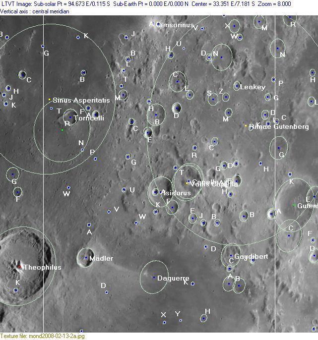
[#Rükl Zone 47 - CAPELLA-Lettered Crater Locations Lettered Crater Locations]
[#Rükl Zone 47 - CAPELLA-Lettered Crater Locations-Full zone with lettered craters Full zone with lettered craters]
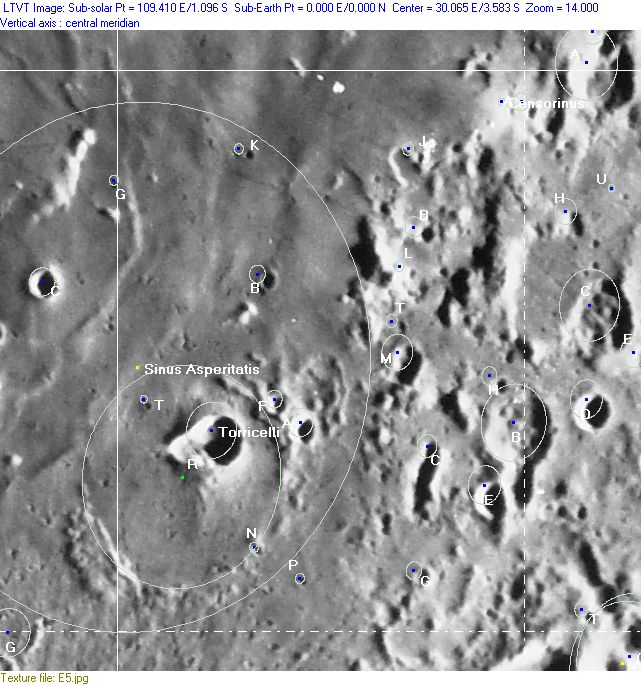
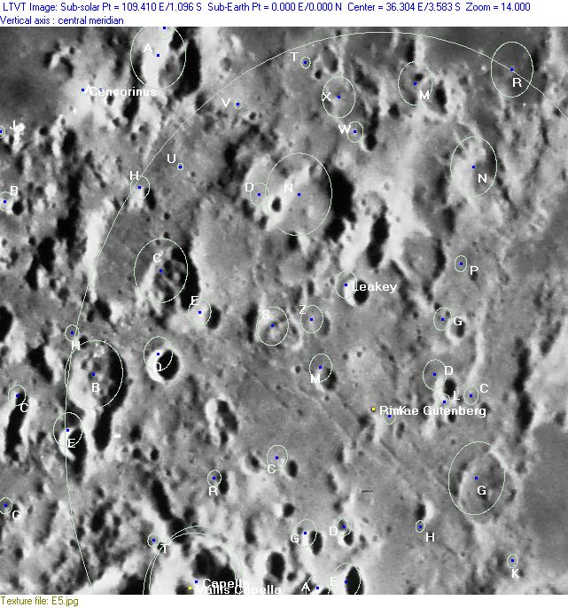
[#Rükl Zone 47 - CAPELLA-Lettered Crater Locations-Lettered craters by quadrants Lettered craters by quadrants]
[#Rükl Zone 47 - CAPELLA-Additional Information Additional Information]
[#Rükl Zone 47 - CAPELLA-The strange behaviour of Torricelli B (January the 29th, 1983) The strange behaviour of Torricelli B (January the 29th, 1983)]
| 47 |
||
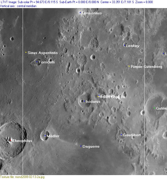
Photographic Map
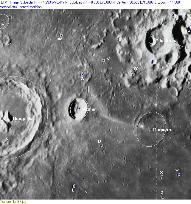
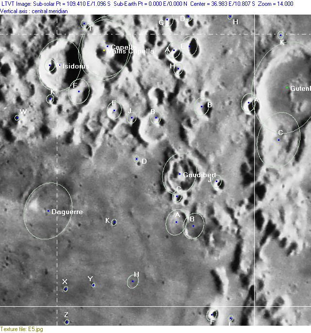
(This map is based on an Earth-based photograph that has been computer-corrected to zero libration. The vertical white lines indicate the left and right boundaries of the Rükl rectangle)

  Background image source
Named Features
- Beaumont L (note: according to orbiting Apollo astronauts this tiny crater shows rusty colored bands and a brownish hue on its floor) (Beaumont L is the rather dark craterlet near the lower left corner of Chart 47).
- Beaumont's Twenty Nine East Ridge (an unofficial name from D.Caes for the officially unnamed ridge at 29° East, north of Beaumont, see Chart 58, and southeast of Theophilus/ southwest of Madler) (note: the name Twenty Nine East Ridge is some sort of lunar equivalent of the terrestrial Ninety East Ridge on the floor of the Indian Ocean).
- Bohnenberger Eta (this elongated hill is depicted near the lower right corner of Chart 47) (for Bohnenberger see Chart 58).
- Capella (Van Langren's Vlacci, J.Hewelcke's Mons Strobilus) (?) (E.A.Whitaker seems to be uncertain about that one).
- Censorinus (a very bright spot during Full Moon!) (one of the signposts during observations of lunar eclipses) (J.Hewelcke's Prom. Heracleum).
- Censorinus N (Van Langren's Golii, Riccioli's Beda).
- Colchis (regio) (J.Hewelcke's disallowed name for the region east of Sinus Asperitatis).
- Daguerre (the floor of this crater contains a strange looking ray-craterlet, once photographed from orbit by CMP Ken Mattingly aboard Apollo 16's CSM Casper, this during the surface excursions of CDR John Young and LMP Charles Duke at the Descartes-Dollond region).
- Dionysius Exiguus (Riccioli's disallowed name for Censorinus C).
- Fretum Ponticum (J.Hewelcke's disallowed name for the northern part of Mare Nectaris).
- Gaudibert
- Isidorus (Van Langren's Laurini, J.Hewelcke's Mons Strobilus).
- Leakey (this is a possible Concentric Crater).
- Mädler (Van Langren's Phorylidi, J.Hewelcke's Prom. Freti Pontici).
- Magni (Van Langren's disallowed name for Capella B) (?) (E.A.Whitaker seems to be uncertain about that one).
- Mare Nectaris (Van Langren's Sinus Batavicus, J.Hewelcke's Sinus Extremus Ponti) (the northern part of it, occupying the section at the bottom of Chart 47, see Chart 58 for wiki-link).
- Mare Tranquillitatis (Van Langren's Mare Belgicum, J.Hewelcke's Pontus Euxinus) (the most southern part of it, occupying the upper left section of Chart 47).
- Mons Herculis (J.Hewelcke's disallowed name for the nimbi of Maskelyne A and Censorinus A).
- Montes Pyrenaeus (near the lower right corner of Chart 47) (J.Hewelcke's Montes Caucasus).
- Rimae Gutenberg
- Ruin Basin (an informal NASA related name for the odd 8-shaped or peanut shaped couple of subdued craters west-southwest of Censorinus).
- Ruin Basin's western hill (a nickname from D.Caes for the officially unnamed hill west of both NASA's Ruin Basin and Censorinus J).
- Sidewinder Rille (an informal NASA related name for the rille north-northwest of Censorinus K).
- Sinus Asperitatis (Van Langren's Sinus Batavicus, J.Hewelcke's Sinus Atheniensis).
- Snellii (Van Langren's disallowed name for Isidorus F) (?) (E.A.Whitaker seems to be uncertain about that one).
- SP Crater (an informal NASA related name for Censorinus A, the inconspicuous crater just east of the bright Censorinus itself).
- Terra Mannae (Riccioli's discontinued name for the region between Mare Nectaris and Mare Fecunditatis).
- Terra Temperantiae (Van Langren's disallowed name for the region between Mare Nectaris and Mare Fecunditatis).
- Torricelli (Van Langren's Wassenarii).
- Torricelli B (north-northeast of Torricelli itself, Torricelli B is a very mysterious TLP site because of the strange bluish white appearance of this crater on January the 29th, 1983) (see Additional Information below).
- Torricelli B hill (a nickname from D.Caes for the officially unnamed hill southwest of Torricelli B).
- Vallis Capella
- Vernet (a disallowed name from H.P.Wilkins for Gutenberg G).
- Wendelini (Van Langren's disallowed name for Maskelyne A).
Lettered Crater Locations
(click on the thumbnails to view full-sized images; use browser BACK button to return to this page)
Full zone with lettered craters
Lettered craters by quadrants
(the dashed white lines are the centerlines of the Rükl zones)
| North West |
North East |
| South West |
South East |
Additional Information
- Other online descriptions of features in this Rükl map section:
The strange behaviour of Torricelli B (January the 29th, 1983)
This very interesting article, by Marie C. Cook, appeared in the Journal of the British Astronomical Association, 110, 3, 2000 (pages 117-122).
  It is not known if other strange appearances of Torricelli B have been reported in astronomical journals, or perhaps in moon-related websites. A search is needed.
 - DannyCaes DannyCaes Oct 4, 2015
  Thanks Antoine van der Jeugt for photocopies of this article! (A.v.d.Jeugt: Flemish connoisseur and dedicated observer of both the moon and Mars).
This page has been edited 1 times. The last modification was made by - tychocrater tychocrater on Jun 13, 2009 3:24 pm - mgx2
