Rükl 29
Contents
Rükl Zone 29 - MARIUS
Neighboring maps on the Rükl Nearside Map:
Table of Contents
[#Rükl Zone 29 - MARIUS Rükl Zone 29 - MARIUS]
[#Rükl Zone 29 - MARIUS-Photographic Map Photographic Map]
[#Rükl Zone 29 - MARIUS-Named Features Named Features]
[#Rükl Zone 29 - MARIUS-Lettered Crater Locations Lettered Crater Locations]
[#Rükl Zone 29 - MARIUS-Additional Information Additional Information]
[#Rükl Zone 29 - MARIUS-Marius Hills Skylight Marius Hills Skylight]
| 29 |
||
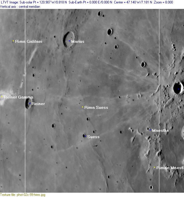
Photographic Map
(This map is based on an Earth-based photograph that has been computer-corrected to zero libration. The vertical white lines indicate the left and right boundaries of the Rükl rectangle)

  Background image source
Named Features
- Barange (a disallowed name from H.P.Wilkins for the very pronounced bowl shaped crater Marius A, east of Marius itself) (once called Simpilii by Langrenus).
- Dorsa Marius (an unofficial name from D.Caes for the system of wrinkle ridges south of Marius).
- Dorsum Reiner (an unofficial name from D.Caes for the wrinkle ridge north and south of Reiner).
- Dorsum Suess F (an unofficial name from D.Caes for the wrinkle ridge slightly west of the bowl-shaped crater Suess F, of which the fork-shaped southern end (of that wrinkle ridge) seems to be part of the concentric system of wrinkle ridges inside the Flamsteed P ring, see Chart 40).
- Luna 7 (crash-landed on October 7, 1965, somewhere southeast of Marius) (the pinpoint coordinates of its impact site seem to be unknown, because two different locations are mentioned in Luna 7's Wikipedia page: 9° North/ 49° West and 9.8° North/ 47.8° West. The location of Luna 7's impact site on Antonin Rukl's original (printed) Chart 29 shows something like 10.1° North/ 48.7° West) (perhaps all of this is old news, maybe the true pinpoint coordinates of Luna 7's impact site are already known thanks to the Lunar Reconnaissance Orbiter's Hi-Res photographs) (?). - DannyCaes DannyCaes Oct 30, 2015
- Maestlin
- Mare Eoum (J.Hewelcke's disallowed name for the western part of Oceanus Procellarum).
- Marius (Van Langren's Spada, J.Hewelcke's Mons Germanicianus).
- Marius Hills (unofficial name).
- Marius Hills Skylight (an unofficial name for a remarkable pit near the upper left corner of Chart 29) (LAT: 14.0915 / LON: -56.7700) (see also Additional Information below).
- Oceanus Procellarum (Van Langren's Oceanus Philippicus) (more-or-less the central part of it, occupying the whole of Chart 29).
- Reiner (probably called Mons Audus by J.Hewelcke, together with Reiner Gamma west of it).
- Rima Suess (note: a curious elongated craterlet at 8°40' North/ 48°30' West (near the northern part of Rima Suess) is an interesting target for telescopic lunar observers and webcammers (see LPOD by Pavel Presnyakov). This elongated craterlet is also detectable on Chart 27 (page 67) in the 21st Century Atlas of the Moon (Wood/ Collins) at location 6-G. See also the Hi-Res scan of Lunar Orbiter 4's frame 150-h2 (lower part of photograph)).
- Rimae Maestlin
- Suess (J.Hewelcke's Mons Mampsarus, on his map erroneously mentioned as Mons Campsarus).
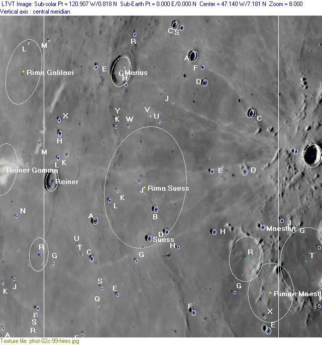
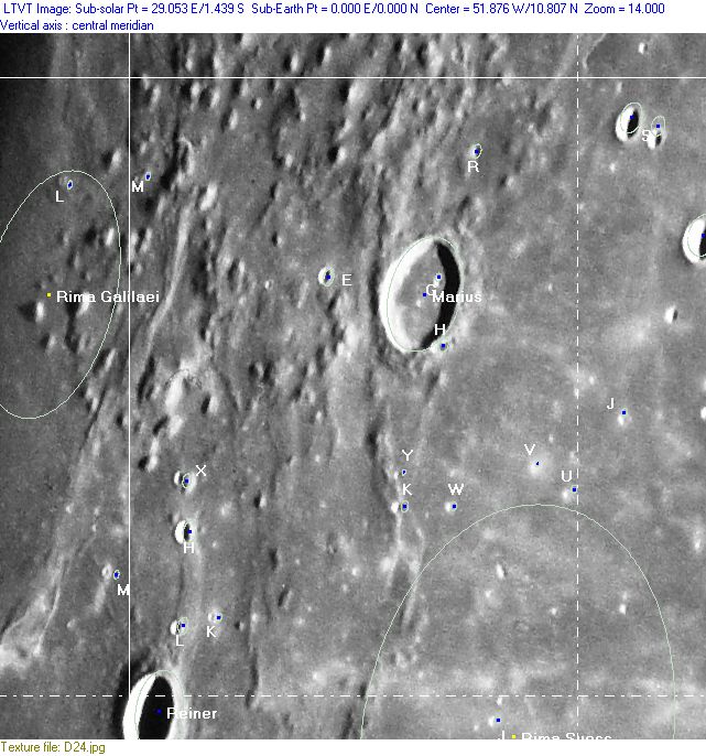
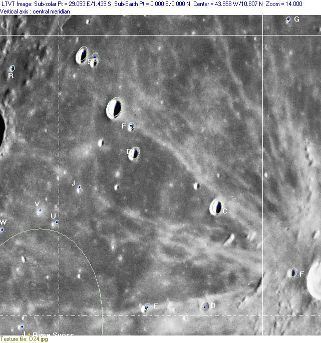
Lettered Crater Locations
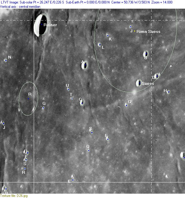
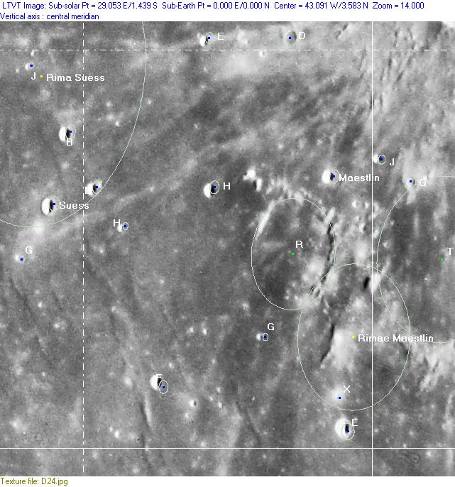
(click on the thumbnails to display full-sized images; use browser BACK button to return - the dashed white lines are the midpoints of the Rükl zones)

  Full zone with lettered craters:


  Lettered craters by quadrants:
| North West |
North East |
| South West |
South East |
Additional Information
- Other online descriptions of features in this Rükl map section:
Marius Hills Skylight
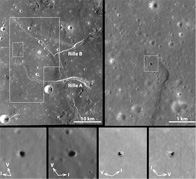
- Discovered on Kaguya images (below) and then seen in more detail on the high-resolution photographs made by the Lunar Reconnaissance Orbiter (LRO).
- Kaguya-Selene view below of Marius Hills skylight (click image to go to Kaguya page).
- {| class="captionBox"
| class="captionedImage" |
 |-
| class="imageCaption" | kaguya-mariussmall.jpg
|}
- The Marius Hills Skylight is noticeable on Lunar Orbiter 5's medium resolution (med) photographs LOV-211-med, LOV-212-med, LOV-213-med, LOV-214-med, LOV-215-med, and LOV-216-med, although one should have very good eyes to detect the "pit" on the online Hi-Res scans of these photographs!
- Is it possible to create a three-dimensional stereo view of this skylight while looking at extreme close ups of LOV-211-med and LOV-215-med? (warning: LOV-216-med shows too much blur, and can't be used).
- If Lunar-Orbiter 5's Hi-Res close up photograph LOV-214-h3was made several kilometers more westward, it would have captured the skylight described above. Unfortunately, it (the location of the skylight) is "off screen" beyond the photograph's upper margin, which shows only the eastern part of the "elbow" in the skylight's rille.
- Research Lunar-Orbiter 5 photography: Danny Caes
- Image of the Marius Hills skylight with sunlight shining on the floor, reported by James Fincannon in LROC frame M122584310LE.
This page has been edited 1 times. The last modification was made by - tychocrater tychocrater on Jun 13, 2009 3:24 pm - mgx2
