Chang Heng
Contents
Chang Heng
| Lat: 18.71°N, Long: 111.9°E, Diam: 42.65 km, Depth: km, Rükl: (farside) | ||
Images
LPOD Photo Gallery Lunar Orbiter Images Apollo Images
Chang Heng was also captured by Apollo 16's orbital panoramic ITEK-camera during Trans Earth Coast (T.E.C.).
Frame AS16-P-5510 shows Chang Heng about halfway between the frame's centre and the moon's limb at right.
Research: Danny Caes
Maps
(LAC zone 47D4) USGS Digital Atlas PDF
Description
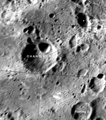
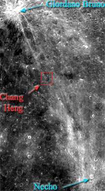
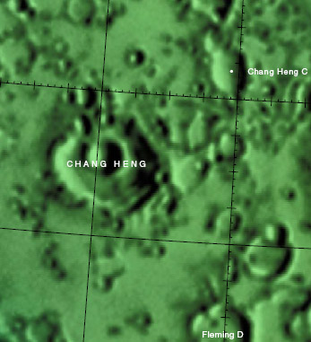
Chang Heng lies between a crossroad region of ray deposits (see middle image above); with Giordano Bruno to its north-west and Necho to its south-east -- both Copernican in age (~ 1.1 bn years to present). The crater itself looks old and worn on first view, however, on close inspection, nearly all of its rim has been altered by numerous small impacts in the north-west and south-west particularly, and with an unusual-looking scarp or landslide of material at it south-east. The floor is relatively level; dominated by a crater nearly a third the size of Chang Heng itself.- JohnMoore2
Wikipedia
Additional Information
- IAU page: Chang Heng
Nomenclature
Chinese astronomer (78-139).
LPOD Articles
Bibliography
Named Features -- Prev: Chandler -- Next: Chang-Ngo


