Catena Lucretius (RNII)
Contents
Catena Lucretius (RNII)
| Lat: 3.4°S, Long: 126.1°W, Length: 271 km, Depth: km, Rükl: (farside) |


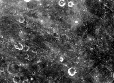
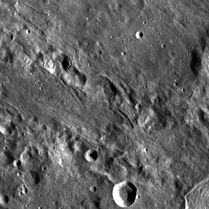
left: Clementine . right: LROC . Catena Lucretius at center, Lucretius at lower right corner; all image area is covered by Orientale Basin ejecta blanket.
Images
LPOD Photo Gallery Lunar Orbiter Images Apollo Images
Maps
(LAC zone 89A1) USGS Digital Atlas PDF
Description
Description: Wikipedia
Additional Information
List of Lunar Catenae.
Nomenclature
- This feature is named after the nearby crater, Lucretius. The parenthetical abbreviation (RNII) is based on the Russian spelling for the Rocket Research Institute, a scientific institute.
- The name RNII was proposed for this feature on the Complete Map of the Moon (1967/1969) made under the direction of the Sternberg Institute, and presented to the IAU in 1967.
- The idea of naming catenae after institutes was considered by the IAU starting in 1970.
- Although the idea of naming catenae after institutes was ultimately rejected, Catena Lucretius (RNII) was among three catenae for which in 1979 the IAU began recommending that to "provide a cross-reference to the earlier Soviet lunar maps" the name be printed on maps followed by the initials in parenthesis.
- It is unclear from the IAU Transactions when the name Catena Lucretius (without the parenthesis) had been assigned.
LPOD Articles
Bibliography