Rükl 27
Contents
Rükl Zone 27 - PLUTARCH
Neighboring maps on the Rükl Nearside Map:
| 27 |
||
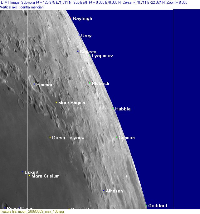
Photographic Map
(This map is based on an Earth-based photograph that has been computer-corrected to zero libration. The vertical white lines indicate the left and right boundaries of the Rükl rectangle)

  Background image source
Nearside Named Features
- Alhazen
- Alhazen Alpha and Alhazen Beta (two prominent mountains at the eastern part of Mare Crisium's (or the Crisium basin's) rim, northwest of Alhazen) (see Chart 34 in the Times Atlas of the Moon).
- Cannon
- Dorsa Harker
- Dorsa Tetyaev
- Eimmart
- Eimmart K isles (a nickname from D.Caes for the cluster of hillocks south-southwest of Eimmart K, at the most eastern section of Mare Crisium).
- Goddard
- Hubble
- Lacus Minor Occidentalis (J.Hewelcke's disallowed name for the low-albedo areas Hansen B and west of it).
- Lacus Risus Felis / Smiling Cat (an unofficial name from C.A.Wood, see description below at Additional Information).
- Luna 15 (crash-landed on July 21, 1969, somewhere at the eastern part of Mare Crisium) (on Antonin Rukl's original printed version of his Chart 27 there is nothing to see of Luna 15's site, but... Wikipedia shows the coordinates 17° North/ 60° East; near the lower left corner of... Rukl's Chart 27. Rukl himself shows the impact site of Luna 15 on his Chart 38; at the southeastern "corner" of Mare Crisium, in the region of Barker's Quadrangle) (perhaps all of this is old news, it could be that the true impact site of Luna 15 is already discovered on the Lunar Reconnaissance Orbiter's Hi-Res photographs...).
- Lyapunov
- Mare Anguis (and its subdivisions which were named by J.H.Franz; Drachenauge, Drachenkamm, Schwanzende, Zungenspitze..., see footnotes in Named Lunar Formations by Mary Blagg).
- Mare Crisium (Van Langren's Mare Caspium (de Moura), J.Hewelcke's Palus Maeotis).
- Mare Marginis (west of Goddard, see also Chart 38) (J.Hewelcke's Lacus Major Occidentalis).
- Mare Novum (a disallowed name from J.H.Franz for a suspected mare-like region somewhere northeast of Plutarch).
- Marginis Swirl (unofficial name).
- Olblatt (a disallowed name from J.H.Franz for Hansen B, see Named Lunar Formations by Mary Blagg) (seems to have been called Lower by H.P.Wilkins).
- Oriani (discontinued IAU name).
- Plutarch (J.Hewelcke's Mons Alaunus, together with the IAU's Seneca).
- Rayleigh
- Recorde (a disallowed name from H.P.Wilkins for Alhazen E) (on the Hallwag moonmap the name Recorde is printed nearly upside-down).
- Seneca (J.Hewelcke's Mons Alaunus, together with the IAU's Plutarch).
- Terra Vigoris (Riccioli's discontinued name for the region southeast of Mare Crisium).
- Terra Vitae (Riccioli's discontinued name for the region northeast of Mare Crisium).
- Vulleri (Van Langren's disallowed name for Alhazen Alpha).
- Urey
An extra "name":
- The Plutarch boundary (the boundary between Riccioli's Terra Vigoris and Terra Vitae, slightly south of Plutarch, this according to A.J.M.Wanders in his book Op Ontdekking in het Maanland, 1949).
Farside Named Features
(The following features are not formally included in the present Rükl rectangle, but they are adjacent to it and their centers are less than 10° beyond the mean limb -- so they may be seen here in whole or in part with a favorable libration)
- Al-Biruni
- Catena Dziewulski
- Dziewulski
- Edison
- Joliot (once known as Mare Novum)
- Lomonosov
- Popov
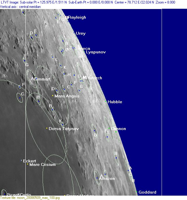
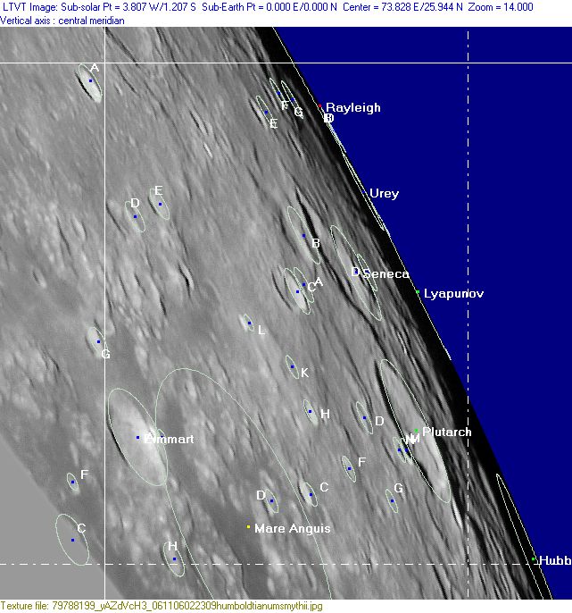
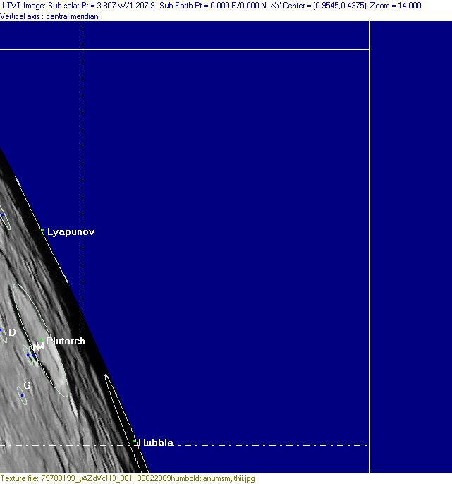
Lettered Crater Locations
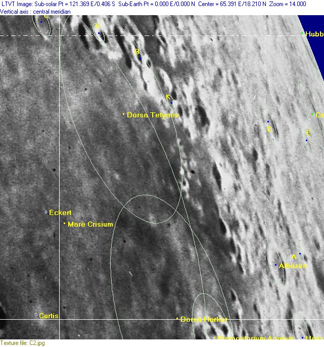
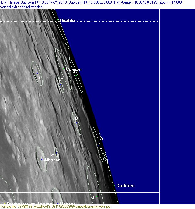
(click on the thumbnails to display full-sized images; use browser BACK button to return - the dashed white lines are the midpoints of the Rükl zones)

  Full zone with lettered craters:


  Lettered craters by quadrants:
| North West |
North East |
| South West |
South East |
Additional Information
- Other online descriptions of features in this Rükl map section:
Lacus Risus Felis
- The southern part of this map and the northern part of Map 38 are occupied by a system of three dark regions which are unofficially called Lacus Risus Felis by Charles A. Wood (the "smiling cat" between Mare Crisium and Mare Marginis). - DannyCaes Nov 20, 2008
