Schmidt Charts
Contents
Charte der Gebirge des Mondes

Description
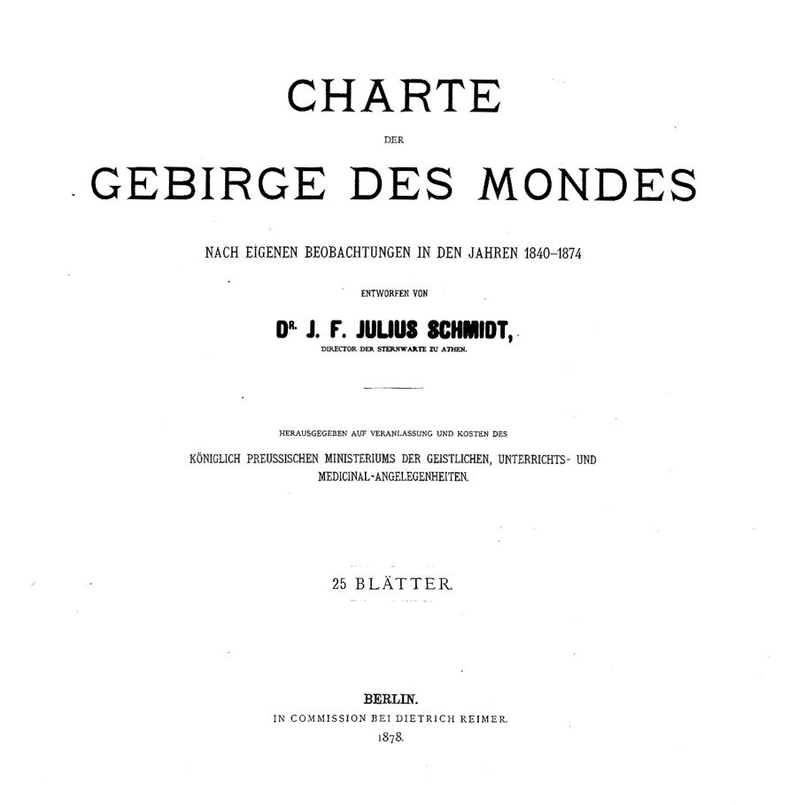
In 1878 J. F. Julius Schmidt published his Charte der Gebirge des Mondes ("Charts of the Mountains of the Moon" -- in which the term "Gebirge/Mountains" is used not in the modern sense of isolated peaks and ranges, but rather as a term encompassing nearly all topographic features observable on the lunar surface, many craters being call "ring mountains"). Schmidt, almost always referred to in the 19th century as "the great Schmidt of Athens", made the best hand-drawn map of the Moon ever. With Germanic thoroughness Schmidt carefully depicted more craters, rilles and little hills than anyone before, and he counted exactly how many were on each of his 25 map sheets. He probably made more measures and estimates of peak heights and crater depths (about 1000) than everyone else combined, and many of his measures have yet to be replaced by modern ones.

  I am pleased to present here a digitized copy of Schmidt's monumental lunar map, for most students of the Moon do not have access to it. Note that the scanning and this digital reproduction (shown at 150 dots/inch) do not do justice to the great amount of detail visible in the originals. Unfortunately the photographic prints that I have/had have not been found so these are scanned from photocopies - a further insult to the great Schmidt of Athens (for comparison, Section IV is a photo of an original map in the collection of Jörn Koblitz).
Title Page
[[Schmidt Title Page| ]] (Click page for full size view)
Chart Scans
(click map above to go to page with full-sized scan of that section)
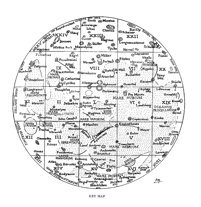
Index Map
Schmidt did not include an index map for his charts but subsequent mappers followed his divisions (originally proposed by Lohrmann) so the nice map (made by Patrick Moore according to the initials in the corner) in Wilkins and Moore The Moon is shown here. Chart 1 is at the Moon's center of face and subsequent charts are in a counterclockwise spiral.
Additional Information
Schmidt's atlas of 25 sheets was accompanied by a thick book describing every one of his lunar observations over a 30 year period. The first page of each section listed the names of features on the maps (identified by small numbers), as shown for sheet 1. This information can also be found in the Google Books copy of Schmidt's text, and a link to the appropriate scanned page is given for each sheet.

  Immediately below the section heading Schmidt lists the count of craters and rilles observed in the region by Lohrmann (after whose maps Schmidt's are modeled) and by Beer and Mädler, as well as his own count.

  (*) symbols in the main names ("Namen") section indicate ones added since 1851. There are usually notes explaining where they came from, as well as other, often conflicting proposals. Many of the new names were proposed by Schmidt in connection with a posthumous publication, with Opelt, of Lohrmann's maps; but as Schmidt explains he was unable to know which of these the publishers would ultimately choose to use. He also says he was unaware, until the present work was nearly complete, of the many new names proposed by English observers (sometimes referred to as the "Lunar Committee" or the "Moon Society of London").

  The name listing is followed by a detailed study of how the feature numbers found on Lohrmann's maps compare to the designations for those features on the maps of Beer and Mädler, and sometimes those of the English observers. Asterisks in this section highlight numbers and names found in Lohrmann's small overview maps.

  After this comes a tabulation of his height measurements of features falling in the map area, and then a chronological list of his observations of the them.
LPOD Articles
Bibliography
- Schmidt, J. F. J. 1878. Charte der Gebirge des Mondes. Vol. 1. In Commission bei D. Reimer, Berlin. (Google books)
- Schmidt. 1878. Kurze erlauterung zu J. Schmidt's mondcharte: in 25 sectinen. In commission bei D. Reimer. (an abbreviated key to the names, apparently intended for sale with the map sheets)
- Birmingham (1879) Review of Schmidt's Charte der Gebirge des Mondes


