Difference between revisions of "Rimae Atlas"
| Line 6: | Line 6: | ||
|} | |} | ||
<div id="toc"> | <div id="toc"> | ||
| − | [http://www.lpod.org/coppermine/displayimage.php?pid=4&fullsize=1 [[Image: | + | [http://www.lpod.org/coppermine/displayimage.php?pid=4&fullsize=1 [[Image:Atlass-Clem-USGS.jpg|external image atlass-Clem-USGS.jpg]]]<br /> ''[http://lpod.org/coppermine/displayimage.php?pos=-4 Clementine]''<br /> <br /> |
==Images== | ==Images== | ||
[http://www.lpod.org/coppermine/thumbnails.php?album=search&type=full&search=Rimae%20Atlas LPOD Photo Gallery] [http://www.lpi.usra.edu/resources/lunar_orbiter/bin/srch_nam.shtml?Rimae%20Atlas%7C0 Lunar Orbiter Images] [http://www.lpi.usra.edu/resources/apollo/search/feature/?feature=Rimae%20Atlas Apollo Images]<br /> <br /> | [http://www.lpod.org/coppermine/thumbnails.php?album=search&type=full&search=Rimae%20Atlas LPOD Photo Gallery] [http://www.lpi.usra.edu/resources/lunar_orbiter/bin/srch_nam.shtml?Rimae%20Atlas%7C0 Lunar Orbiter Images] [http://www.lpi.usra.edu/resources/apollo/search/feature/?feature=Rimae%20Atlas Apollo Images]<br /> <br /> | ||
Latest revision as of 21:45, 15 April 2018
Contents
Rimae Atlas (Rima Atlas I, II, III, IV, and V)
|
Lat: 47.5°N, Long: 43.6°E, Length: 60 km, Depth: km, Rükl: 15 |
Images
LPOD Photo Gallery Lunar Orbiter Images Apollo Images
Maps
(LAC zone 27A2) LAC map Geologic map
Description
Description: Wikipedia
Additional Information
Nomenclature
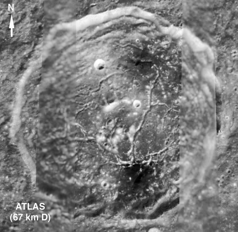
On the floor of Atlas, as Rimae Atlas I, II, III, IV, and V (see chart SLC-B2 of the System of Lunar Craters).
LPOD Articles
Bibliography
