Difference between revisions of "Mare Moscoviense"
(Created page with "<div id="content_view" class="wiki" style="display: block"> =Moscoviense Basin= ''(unofficial name; IAU feature name for central 277 km of mare: '''Mare Moscoviense''' )''<b...") |
|||
| (2 intermediate revisions by the same user not shown) | |||
| Line 1: | Line 1: | ||
<div id="content_view" class="wiki" style="display: block"> | <div id="content_view" class="wiki" style="display: block"> | ||
=Moscoviense Basin= | =Moscoviense Basin= | ||
| − | ''(unofficial name; IAU feature name for central 277 km of mare: '''Mare Moscoviense''' )''<br /> See also the [http://the-moon. | + | ''(unofficial name; IAU feature name for central 277 km of mare: '''Mare Moscoviense''' )''<br /> See also the [http://the-moon.us/wiki/Appleton-Tsu%20Basin Appleton-Tsu Basin].<br /> |
{| class="wiki_table" | {| class="wiki_table" | ||
| | | | ||
| − | Lat: 27.28°N, Long: 148.12°E, Main ring diam: 420 km, Depth: 5.25-5.96 km, Rükl: ''(farside)'' [http://the-moon. | + | Lat: 27.28°N, Long: 148.12°E, Main ring diam: 420 km, Depth: 5.25-5.96 km, Rükl: ''(farside)'' [http://the-moon.us/wiki/Stratigraphy Nectarian]<br /> |
|} | |} | ||
| − | [http://lpod.org/coppermine/displayimage.php?pos=-2742 [[Image: | + | [http://lpod.org/coppermine/displayimage.php?pos=-2742 [[Image:Normal_Moscoviense-LO5-124M~0.jpg|external image normal_Moscoviense-LO5-124M~0.jpg]]][http://www.lpod.org/coppermine/displayimage.php?pid=2336&fullsize=1 [[Image:Normal_Moscoviense_Basin_LIDAR_LTVT.JPG|external image normal_Moscoviense_Basin_LIDAR_LTVT.JPG]]][[Image:Moscoviense.jpg|Moscoviense.jpg]]<br /> Left: ''[http://lpod.org/coppermine/displayimage.php?pos=-2742 Lunar Orbiter V -124M]'', Middle: ''[http://lpod.org/coppermine/displayimage.php?pos=-2336 Clementine]'' Clementine LIDAR Altimeter texture from [http://pdsmaps.wr.usgs.gov/PDS/public/explorer/html/lidrlvls.htm PDS Map-a-Planet] remapped to north-up aerial view by [http://www.henriksucla.dk/ LTVT]. The dot is the center position and the white circle the main ring position from Chuck Wood's [http://www.lpod.org/cwm/DataStuff/Lunar%20Basins.htm Impact Basin Database]. Grid spacing = 10 degrees.<br /> Right: ''[http://target.lroc.asu.edu/da/qmap.html LROC]''<br /> <br /> <div id="toc"> |
| − | + | ||
| − | |||
==Images== | ==Images== | ||
| − | [http://www.lpod.org/coppermine/thumbnails.php?album=search&type=full&search=Mare%20Moscoviense LPOD Photo Gallery] [http://www.lpi.usra.edu/resources/lunar_orbiter/bin/srch_nam.shtml?Mare%20Moscoviense%7C0 Lunar Orbiter Images] [http://www.lpi.usra.edu/resources/apollo/search/feature/?feature=Mare%20Moscoviense Apollo Images]<br /> <u>'''WARNING:'''</u><br /> None of the five Apollo 10 photographs mentioned in the LPI's list of Apollo Images show '''Mare Moscoviense''', because these photographs show the Near Side's SOUTHEASTERN part! <span class="membersnap">- | + | [http://www.lpod.org/coppermine/thumbnails.php?album=search&type=full&search=Mare%20Moscoviense LPOD Photo Gallery] [http://www.lpi.usra.edu/resources/lunar_orbiter/bin/srch_nam.shtml?Mare%20Moscoviense%7C0 Lunar Orbiter Images] [http://www.lpi.usra.edu/resources/apollo/search/feature/?feature=Mare%20Moscoviense Apollo Images]<br /> <u>'''WARNING:'''</u><br /> None of the five Apollo 10 photographs mentioned in the LPI's list of Apollo Images show '''Mare Moscoviense''', because these photographs show the Near Side's SOUTHEASTERN part! <span class="membersnap">- DannyCaes <small>Nov 14, 2012</small></span><br /> - The first 15 frames of Apollo 16's ''Hasselblad'' magazine [http://www.lpi.usra.edu/resources/apollo/catalog/70mm/magazine/?122 122-QQ] show an oblique northward looking view at '''Mare Moscoviense''''s dark floor (at the horizon).<br /> - '''Mare Moscoviense''' was also captured on several oblique north looking frames made by Apollo 16's ''Fairchild'' metric/mapping camera, of which [http://www.lpi.usra.edu/resources/apollo/images/print/AS16/M/0732.jpg AS16-M-0732] (of magazine REV 27) shows the flat plain of '''Mare Moscoviense''' at the central part of the curved horizon.<br /> Research Apollo 16 photography: Danny Caes<br /> <br /> |
==Maps== | ==Maps== | ||
| − | ''([http://the-moon. | + | ''([http://the-moon.us/wiki/LAC%20zone LAC zone] 48B3)'' [http://planetarynames.wr.usgs.gov/images/Lunar/lac_48.pdf USGS Digital Atlas PDF]<br /> <br /> |
| − | ==[http://the-moon. | + | ==[http://the-moon.us/wiki/Lunar%20Basins Basin Classification]== |
(description of terms and most numeric basin data from Wood, C.A. (2004) [http://www.lpod.org/cwm/DataStuff/Lunar%20Basins.htm Impact Basin Database])<br /> | (description of terms and most numeric basin data from Wood, C.A. (2004) [http://www.lpod.org/cwm/DataStuff/Lunar%20Basins.htm Impact Basin Database])<br /> | ||
{| class="wiki_table" | {| class="wiki_table" | ||
| Line 36: | Line 35: | ||
[http://en.wikipedia.org/wiki/Mare_Moscoviense Mare Moscoviense]<br /> <br /> | [http://en.wikipedia.org/wiki/Mare_Moscoviense Mare Moscoviense]<br /> <br /> | ||
==Additional Information== | ==Additional Information== | ||
| − | * A small [http://the-moon. | + | * A small [http://the-moon.us/wiki/swirl swirl] (or rather''':''' a small field of swirls) of 35 km^2 is associated with this basin ([http://www.lpi.usra.edu/meetings/lpsc2006/pdf/1230.pdf Hughes and others, 2006]). The location of this small swirl field is at the western part of '''Mare Moscoviense''', south-southeast of '''Tereshkova'''. |
* Mare area of 19,600 km^2 according to measurements by [http://www.lpod.org/cwm/DataStuff/MareAreas.htm Jim Whitford-Stark]. | * Mare area of 19,600 km^2 according to measurements by [http://www.lpod.org/cwm/DataStuff/MareAreas.htm Jim Whitford-Stark]. | ||
| − | * Magnetic field anomaly and nearby gravity anomaly. [http://the-moon. | + | * Magnetic field anomaly and nearby gravity anomaly. [http://the-moon.us/wiki/Milbury%20et%20al%2C%202008 Milbury et al, 2008] |
| − | * Crater counts yield mare ages of 3.50 b.y. (NW side), 3.47 (NW side), and 2.57 and 3.55 b.y. (E side), evidence of multiple periods of volcanism. [http://the-moon. | + | * Crater counts yield mare ages of 3.50 b.y. (NW side), 3.47 (NW side), and 2.57 and 3.55 b.y. (E side), evidence of multiple periods of volcanism. [http://the-moon.us/wiki/Haruyama%2C%20J.%20and%20others%2C%202008 Haruyama, J. and others, 2008]. |
| − | * Area of floor mare 28,350 km2 and [http://the-moon. | + | * Area of floor mare 28,350 km2 and [http://the-moon.us/wiki/Stratigraphy Imbrian] age. NW mare 5-8 wt% TiO2, 8-9 wt% FeO. SE mare 1-4 wt%, 10-11 wt% FeO. Dark halo craters outside inner ring to S indicate buried mare. ([http://the-moon.us/wiki/Gillis%20and%20Spudis%2C%201996 Gillis and Spudis, 1996]) |
* IAU page: [http://planetarynames.wr.usgs.gov/Feature/3682 Mare Moscoviense] | * IAU page: [http://planetarynames.wr.usgs.gov/Feature/3682 Mare Moscoviense] | ||
| − | * The farside map of ''Hallwag'' shows a large distinct (unnamed) crater at '''Mare Moscoviense''''s southern part (southeast of [http://the-moon. | + | * The farside map of ''Hallwag'' shows a large distinct (unnamed) crater at '''Mare Moscoviense''''s southern part (southeast of [http://the-moon.us/wiki/Belyaev Belyaev], southwest of [http://the-moon.us/wiki/Komarov Komarov], northwest of [http://the-moon.us/wiki/Leonov Leonov]).<span class="membersnap">- DannyCaes <small>Apr 9, 2011</small></span> |
| − | * A bright raycrater just outside the north-northwestern part of '''Mare Moscoviense''''s rim is printed as a distinct white spot on ''Clementine'''s photographic version of LAC 31 (page 62). Its inner slopes and floor could be explored in real close-up when the coordinates '''LON 143.7, LAT 32.66''' ('''16 M/PIX''') are added in the lower margin's oblong frames of the LRO's [http://target.lroc.asu.edu/da/qmap.html ACT-REACT Quick Map]. Enjoy! <span class="membersnap">- | + | * A bright raycrater just outside the north-northwestern part of '''Mare Moscoviense''''s rim is printed as a distinct white spot on ''Clementine'''s photographic version of LAC 31 (page 62). Its inner slopes and floor could be explored in real close-up when the coordinates '''LON 143.7, LAT 32.66''' ('''16 M/PIX''') are added in the lower margin's oblong frames of the LRO's [http://target.lroc.asu.edu/da/qmap.html ACT-REACT Quick Map]. Enjoy! <span class="membersnap">- DannyCaes <small>Jun 13, 2011</small></span> |
* One of two basins with crustal thickness near zero km. ''[http://www.sciencemag.org/content/339/6120/671.full.pdf The Crust of the Moon as Seen by Grail]'' by Wieczorek et al (2013). | * One of two basins with crustal thickness near zero km. ''[http://www.sciencemag.org/content/339/6120/671.full.pdf The Crust of the Moon as Seen by Grail]'' by Wieczorek et al (2013). | ||
<br /> | <br /> | ||
==Nomenclature== | ==Nomenclature== | ||
| − | * The [http://the-moon. | + | * The [http://the-moon.us/wiki/IAU%20Planetary%20Gazetteer IAU Planetary Gazetteer] translates the name as "Sea of Muscovy". |
| − | * Mare discovered in Lunik 3 imaging of farside and named in ''Atlas of the Far Side of the Moon''; approved by the IAU in 1961 ([http://the-moon. | + | * Mare discovered in Lunik 3 imaging of farside and named in ''Atlas of the Far Side of the Moon''; approved by the IAU in 1961 ([http://the-moon.us/wiki/Whitaker Whitaker], p 232). |
| − | * The impact basin was named for the mare. The floor-fractured crater [http://the-moon. | + | * The impact basin was named for the mare. The floor-fractured crater [http://the-moon.us/wiki/Komarov Komarov] is at the bottom right. |
* Danny Caes calls the system of wrinkle ridges near '''Tereshkova''' (at the western part of '''Mare Moscoviense''') '''''Dorsa Tereshkova''''', while the system of wrinkle ridges between '''Titov''' and the northeastern part of '''Mare Moscoviense''''s rim is called '''''Dorsa Titov'''''. | * Danny Caes calls the system of wrinkle ridges near '''Tereshkova''' (at the western part of '''Mare Moscoviense''') '''''Dorsa Tereshkova''''', while the system of wrinkle ridges between '''Titov''' and the northeastern part of '''Mare Moscoviense''''s rim is called '''''Dorsa Titov'''''. | ||
<br /> | <br /> | ||
| Line 68: | Line 67: | ||
---- | ---- | ||
| − | [http://the-moon. | + | [http://the-moon.us/wiki/Alphabetical%20Index Named Features] -- Prev: [http://the-moon.us/wiki/Milne Milne] -- Next: [http://the-moon.us/wiki/Mutus-Vlacq%20Basin Mutus-Vlacq Basin]<br /> |
---- | ---- | ||
| − | + | </div> | |
Latest revision as of 03:03, 16 April 2018
Contents
Moscoviense Basin
(unofficial name; IAU feature name for central 277 km of mare: Mare Moscoviense )
See also the Appleton-Tsu Basin.
|
Lat: 27.28°N, Long: 148.12°E, Main ring diam: 420 km, Depth: 5.25-5.96 km, Rükl: (farside) Nectarian |


Left: Lunar Orbiter V -124M, Middle: Clementine Clementine LIDAR Altimeter texture from PDS Map-a-Planet remapped to north-up aerial view by LTVT. The dot is the center position and the white circle the main ring position from Chuck Wood's Impact Basin Database. Grid spacing = 10 degrees.
Right: LROC
Images
LPOD Photo Gallery Lunar Orbiter Images Apollo Images
WARNING:
None of the five Apollo 10 photographs mentioned in the LPI's list of Apollo Images show Mare Moscoviense, because these photographs show the Near Side's SOUTHEASTERN part! - DannyCaes Nov 14, 2012
- The first 15 frames of Apollo 16's Hasselblad magazine 122-QQ show an oblique northward looking view at Mare Moscoviense's dark floor (at the horizon).
- Mare Moscoviense was also captured on several oblique north looking frames made by Apollo 16's Fairchild metric/mapping camera, of which AS16-M-0732 (of magazine REV 27) shows the flat plain of Mare Moscoviense at the central part of the curved horizon.
Research Apollo 16 photography: Danny Caes
Maps
(LAC zone 48B3) USGS Digital Atlas PDF
Basin Classification
(description of terms and most numeric basin data from Wood, C.A. (2004) Impact Basin Database)
| Certainty of Existence |
USGS Age |
Wilhelms Age Group |
Ring Diameters |
Mare Thickness |
Mascon |
| Certain |
Nectarian |
10 |
140, 220, 300, 420, 630 |
1.5 |
Yes |
Kaguya investigators conclude that the thickness in the mare is a maximum of 600 m. image
Description
Moscoviense in a multi-ring impact basin that contains the named feature Mare Moscoviense.
Description: Wikipedia
Additional Information
- A small swirl (or rather: a small field of swirls) of 35 km^2 is associated with this basin (Hughes and others, 2006). The location of this small swirl field is at the western part of Mare Moscoviense, south-southeast of Tereshkova.
- Mare area of 19,600 km^2 according to measurements by Jim Whitford-Stark.
- Magnetic field anomaly and nearby gravity anomaly. Milbury et al, 2008
- Crater counts yield mare ages of 3.50 b.y. (NW side), 3.47 (NW side), and 2.57 and 3.55 b.y. (E side), evidence of multiple periods of volcanism. Haruyama, J. and others, 2008.
- Area of floor mare 28,350 km2 and Imbrian age. NW mare 5-8 wt% TiO2, 8-9 wt% FeO. SE mare 1-4 wt%, 10-11 wt% FeO. Dark halo craters outside inner ring to S indicate buried mare. (Gillis and Spudis, 1996)
- IAU page: Mare Moscoviense
- The farside map of Hallwag shows a large distinct (unnamed) crater at Mare Moscoviense's southern part (southeast of Belyaev, southwest of Komarov, northwest of Leonov).- DannyCaes Apr 9, 2011
- A bright raycrater just outside the north-northwestern part of Mare Moscoviense's rim is printed as a distinct white spot on Clementines photographic version of LAC 31 (page 62). Its inner slopes and floor could be explored in real close-up when the coordinates LON 143.7, LAT 32.66 ('16 M/PIX) are added in the lower margin's oblong frames of the LRO's ACT-REACT Quick Map. Enjoy! - DannyCaes Jun 13, 2011
- One of two basins with crustal thickness near zero km. The Crust of the Moon as Seen by Grail by Wieczorek et al (2013).
Nomenclature
- The IAU Planetary Gazetteer translates the name as "Sea of Muscovy".
- Mare discovered in Lunik 3 imaging of farside and named in Atlas of the Far Side of the Moon; approved by the IAU in 1961 (Whitaker, p 232).
- The impact basin was named for the mare. The floor-fractured crater Komarov is at the bottom right.
- Danny Caes calls the system of wrinkle ridges near Tereshkova (at the western part of Mare Moscoviense) Dorsa Tereshkova, while the system of wrinkle ridges between Titov and the northeastern part of Mare Moscoviense's rim is called Dorsa Titov.
LROC Articles
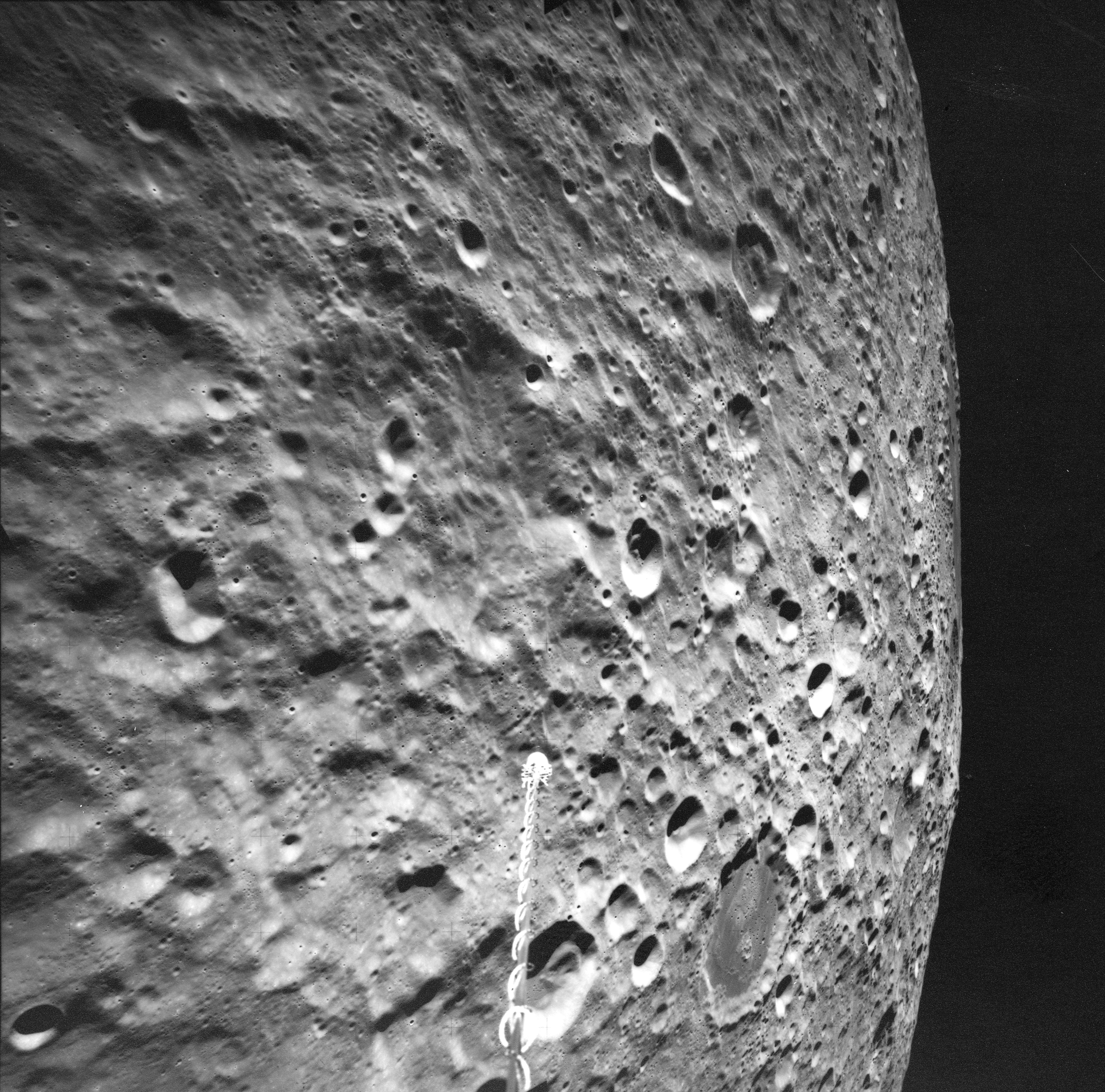
- Forked Impact Melt Flows at Farside Crater, Mare Moscoviense Constellation Site, Where Moscoviense Meets the Highlands.
LPOD Articles
Bibliography
- Tomokatsu Morota and 15 others (2010) Mare volcanism in the lunar farside Moscoviense region: Implication for lateral variation in magma production of the Moon, GEOPHYSICAL RESEARCH LETTERS, VOL. 36, L21202, 5 PP., 2009 doi:10.1029/2009GL040472
- K.G. Thaisen, and 8 others (2010) Geology of the Moscoviense Basin: Implications for the character of the highland crust. 41st Lunar and Planetary Science Conference (2010) abstract 2169.
- Nekvasil, H and others (2012) Large Scale Lunar VOlcanism - Inferences from Moscoviense Basin 43rd Lunar and Planetary Science Conference, abstract 2178.
Named Features -- Prev: Milne -- Next: Mutus-Vlacq Basin