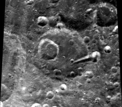
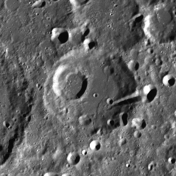
Rynin
Contents
Rynin
|
Lat: 47.0°N, Long: 103.5°W, Diam: 75 km, Depth: km, Rükl: (farside) Nectarian |


left: Clementine . right: LROC
Images
LPOD Photo Gallery Lunar Orbiter Images Apollo Images
Maps
(LAC zone 36A2) USGS Digital Atlas PDF
Description
Description: Wikipedia
Additional Information
Isn't there an official name for the pronounced valley on the eastern part of Rynin? Let's call it Vallis Rynin.- DannyCaes Nov 4, 2008
Nomenclature
- Nikolaj Alexsevitch Rynin (December 23, 1877 - 1942) was a Soviet rocketry scientist, civil engineer, teacher, aerospace researcher, author, historian, and promoter of space travel. During his career he performed research in aeronautics, became a balloonist and aircraft pilot, taught aerospace topics as a professor in Leningrad, and wrote various books and articles on airplanes and space travel. In the April 1918 issue of the Byloye magazine, Rynin published Nikolai Kibalchich's description of a manned, rocket-propelled ship. Between 1928 and 1932 he published a nine-volume encyclopedia of space travel called the Mezhplanetnye Soobschniya ("Interplanetary Communications"). He is known to have corresponded with peers in the West, including Robert H. Goddard, concerning Russian rocketry activities.
- The name Rynin was in the long list of farside names approved at the 1970 General Assembly of the IAU, and subsequently published in Menzel, 1971. As explained in the latter reference, the name was initially assigned to a crater in the vicinity of Riemann; however because of the similar sounds of Rynin and Riemann (???) it was relocated to the present location after the October, 1970 printing of the first "official" maps of the new nomenclature. Danny Caes believes the initial location was at the position of the present crater Beals, although the latter is actually on the Moon's nearside. - Jim Mosher
LPOD Articles
Bibliography