Papaleksi
Contents
Papaleksi
| Lat: 10.2°N, Long: 164.0°E, Diam: 97 km, Depth: km, Rükl: (farside) |


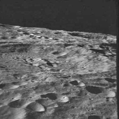
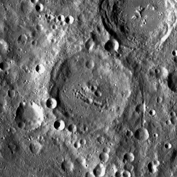
Left: AS10-31-4653 oblique view towards NNW . right: LROC . Papaleksi at center, Spencer Jones at upper right.
Images
LPOD Photo Gallery Lunar Orbiter Images Apollo Images Lunar Image of the Week (05/04/2009)
- Warning: one orbital Apollo photograph of Papaleksi is online as Papaleski, see Papaleski.
AS16-M-0455 is one of Apollo 16's oblique west looking Mapping-Metric Fairchild photographs which captured very bright reflected light in the triplet of high-albedo craterlets near and at the western part of Papaleksi's rim.
See also LAC 67 (page 134) in the Clementine Atlas
- Apollo 13's frame AS13-60-8649 shows a wonderful oblique look at Papaleksi during local sunset (centre of frame). Is that tiny illuminated dot at Papaleksi's interior its central peak?
Research Danny Caes
Maps
(LAC zone 67B4) USGS Digital Atlas PDF
Description
Description: Wikipedia
Additional Information
Nomenclature
- Nikolaj Dmitrievich Papaleksi (December 2, 1880 - 1947) was a Soviet physicist. He developed an interference method for the measurement of the distribution of radio waves on the surface. From 1930 Papaleksi worked especially in the field of radio tracking.
  - Papaleksi was erroneously printed as PAPALESKI on LAC 67, page 135 in the REVISED AND UPDATED EDITION of the Clementine Atlas of the Moon, 2012, CAMBRIDGE UNIVERSITY PRESS.- DannyCaes Jan 10, 2013
LPOD Articles
Bibliography