Ellerman
Contents
Ellerman
|
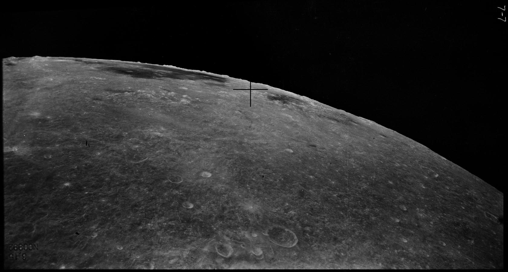
Lat: 25.3°S, Long: 120.1°W, Diam: 47 km, Depth: km, Rükl: (farside), Eratosthenian | |
|
|


Images
LPOD Photo Gallery Lunar Orbiter Images
Frame 10, made by ZOND 8, shows Ellerman just above the frame's lower margin.
Research: Danny Caes
Maps
(LAC zone 107D2) USGS Digital Atlas PDF
Description
Description: Wikipedia
Additional Information
There's an unnamed valley just south-southwest of Ellerman, which is noticeable at LAC 107 (page 214) in the Clementine Atlas of the Moon. The cause of this valley is probably the impact which created the basin Mare Orientale. This valley is called Vallis Ellerman by D.Caes.
Nomenclature
Ferdinand; American astronomer (1869-1940).
Lettered Craters

Excerpt from the USGS Apollo Footprint Viewer.
LPOD Articles
Bibliography