Dryden
Contents
Dryden
|
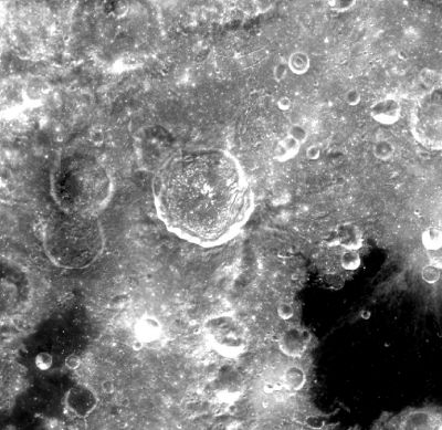
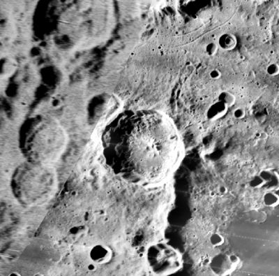
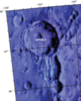
Lat: 33.0°S, Long: 155.2°W, Diam: 51 km, Depth: km, Rükl: (farside), Upper Imbrian | ||
Middle: Lunar Orbiter image from Map-A-Planet.
Right: Color-coded topography LAC 121 image from USGS Digital Atlas.
Note the Concentric Crater northeast of Dryden! (visible in the Clementine and Lunar Orbiter images).
Images
LPOD Photo Gallery Lunar Orbiter Images Apollo Images
Maps
(LAC zone 121A1) USGS Digital Atlas PDF
Description
Pronounced crater at the northwestern part of the farside basin Apollo.
Description: Wikipedia
Additional Information
Concentric Crater (CC) northeast of Dryden (which is N°50 in Charles Wood's catalog of lunar Concentric Craters) (listed as "Apollo").
Nomenclature
Hugh Latimer; American physicist, engineer, NASA leader (1898-1965).
LROC Articles
NAC ANAGLYPH: Dryden Central Peak (Kristen Paris).
Bibliography


