Dugan
Contents
Dugan
| Lat: 64.08°N, Long: 103.16°E, Diam: 49.65 km, Depth: km, Rükl: (farside) | |
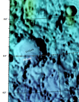
Right: Mosaic image combination of Color-coded topography LAC 6 and Color-coded topography LAC 16 from USGS Digital Atlas.
Images
LPOD Photo Gallery Lunar Orbiter Images
Maps
(LAC zone 6D4) USGS Digital Atlas PDF
Description
Wikipedia
Additional Information
- IAU page: Dugan
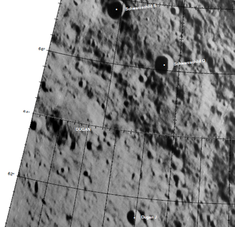
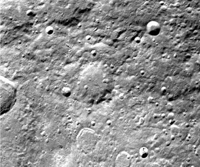
- Peculiar unnamed crater south of Dugan (at 102° East/ 62° North) which shows some sort of "double rim" (see Clementine photograph above). Immediately west-southwest of this crater is the location of the curious high-albedo spot known as the Compton-Belkovich Volcanic Complex (CBVC). - DannyCaes Aug 7, 2015
Nomenclature
- Named for Raymond Smith Dugan (1878-1940), American astronomer. Along with Russell and Stewart he was author of an influential textbook.
Lettered Craters

Excerpt from the USGS Digital Atlas of the Moon.
LPOD Articles
Bibliography
Named Features -- Prev: Dufay -- Next: Dune

