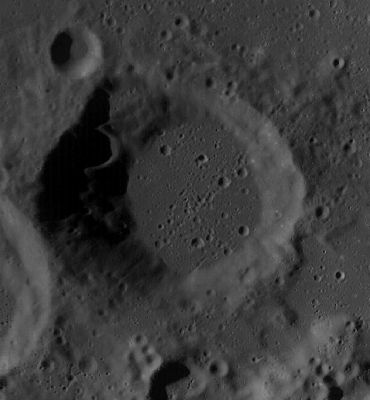
Scobee
Contents
Scobee
(formerly Barringer L)
| Lat: 31.37°S, Long: 149.64°W, Diam: 41.53 km, Depth: km, Rükl: (farside) | |
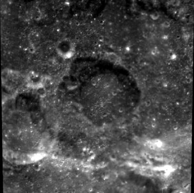
Right: Clementine
Table of Contents
[#Scobee Scobee]
[#Scobee-Images Images]
[#Scobee-Maps Maps]
[#Scobee-Description Description]
[#Scobee-Description-Wikipedia Wikipedia]
[#Scobee-Additional Information Additional Information]
[#Scobee-Nomenclature Nomenclature]
[#Scobee-LPOD Articles LPOD Articles]
[#Scobee-Bibliography Bibliography]
Images
LPOD Photo Gallery Lunar Orbiter Images
Frame 39, made by ZOND 8, shows Scobee immediately above the grey-white rectangle near the frame's upper right corner. The crater just southwest of Scobee ("below and a bit to the right of it") is Smith.
Research: Danny Caes
Maps
(LAC zone 106D4) USGS Digital Atlas PDF
Description
Wikipedia
Additional Information
- IAU page: Scobee
Nomenclature
Francis Richard "Dick"; member of the Challenger crew (1939-1986).
- This replacement name for a formerly lettered crater was approved in 1987 (IAU Transactions XXA).
LPOD Articles
Bibliography
Named Features -- Prev: Dorsum Scilla -- Next: Scoresby
This page has been edited 1 times. The last modification was made by - tychocrater tychocrater on Jun 13, 2009 3:24 pm - afx3u3

