Dorsa Lister
Contents
[hide]Dorsa Lister
| Lat: 20.3°N, Long: 23.8°E, Length: 203 km, Height: km, Rükl: 24 | |
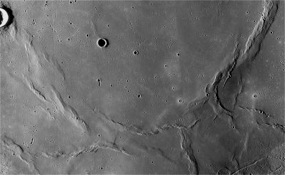
Right: LOIV 085 H3 Dorsa Lister starts in the lower left-hand corner, moves right then angles up to the right-hand corner of this image.
Images
LPOD Photo Gallery Lunar Orbiter Images Apollo Images
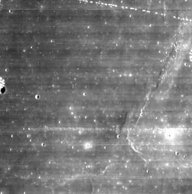
Apollo 17's orbital Hasselblad photograph AS17-150-23021 shows a small part of Dorsa Lister (south at top, north at bottom).
Research: Danny Caes
Maps
(LAC zone 42C1) LAC map Geologic map LM map LTO map
Description
Description: Wikipedia
Additional Information
Nomenclature
Martin Lister (c. 1638, Radclive, England - February 2, 1712, Epsom), English naturalist, stratigrapher, zoologist and physician. He contributed numerous articles on natural history, medicine and antiquities to the Philosophical Transactions. In 1683 he communicated to the Royal Society (Phil. Trans., 1684), an ingenious proposal for a new sort of maps of countries; together with tables of sands and clays, such as are chiefly found in the north parts of England. In this essay he suggested the preparation of a soil or mineral map of the country, and thereby is justly credited with being the first to realize the importance of a geological survey.
LPOD Articles
Bibliography

