Coriolis
Contents
Coriolis
|
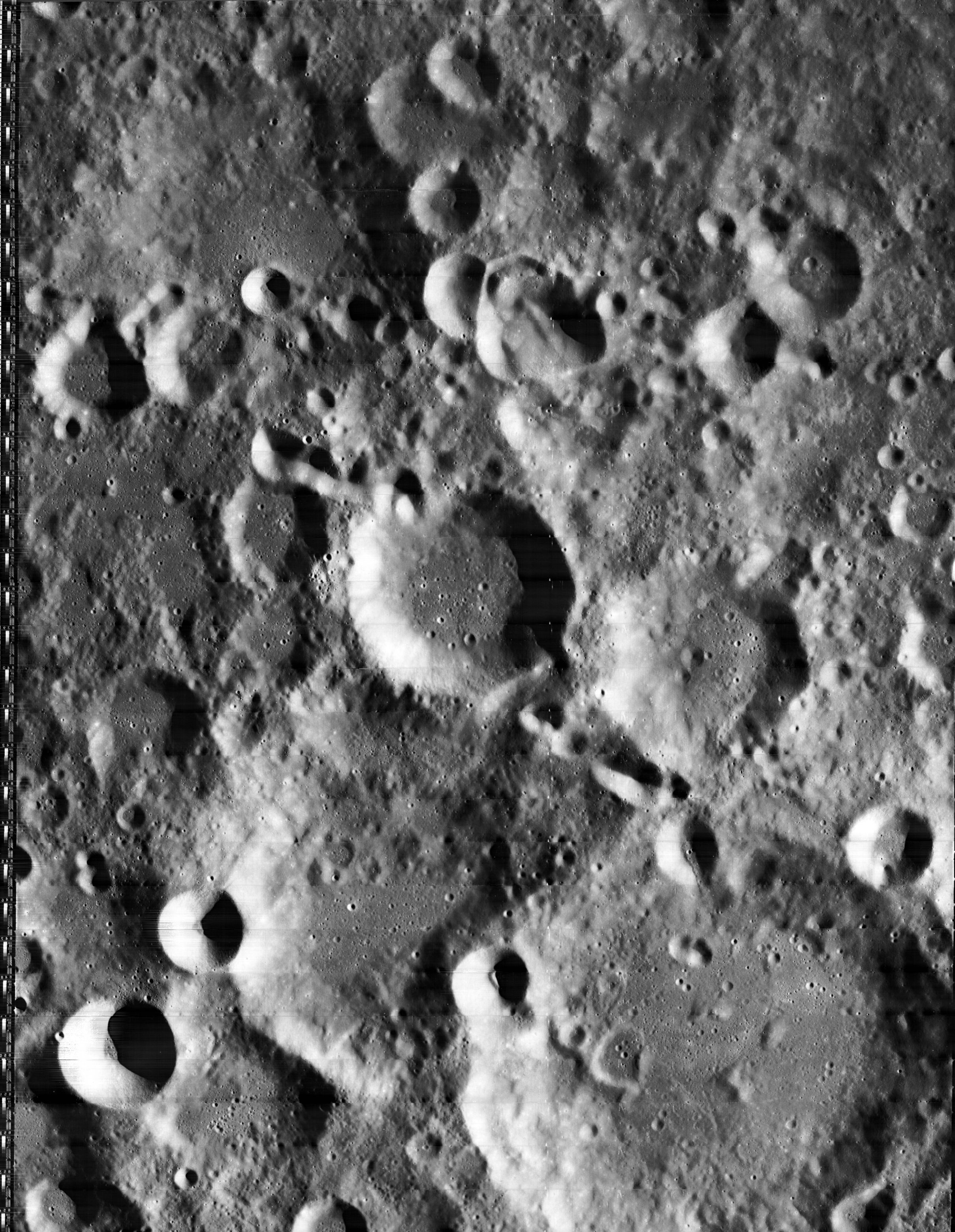
Lat: 0.1°N, Long: 171.8°E, Diam: 78 km, Depth: km, Rükl: (farside), Nectarian by USGS. |


left: II-O34-H3 . right: LROC . Coriolis lies on a low plain at the farside central highlands.
Images
LPOD Photo Gallery Lunar Orbiter Images Apollo Images Apollo 10 image
LO-II 034 h3 is a HiRes scan of the above depicted Lunar Orbiter II frame, which shows Coriolis's floor in great detail (near the frame's lower right corner, south up).- DannyCaes Nov 11, 2012
Maps
(LAC zone 68D4) USGS Digital Atlas PDF
Description
A middle aged crater of the complex type. Erosion has smoothed away the terraces and infill has buried the original floor - only a few scatter hills remain of the central peaks. A short crater chain or rilles occurs on the northern half of the floor. - tychocrater May 16, 2009
Description: Wikipedia
Additional Information
- Coriolis Y mapped as Copernican by USGS.
Nomenclature
Gaspard-Gustave de; French physicist (1792-1843).
LPOD Articles
Bibliography