Chauvenet
Contents
[hide]Chauvenet
| Lat: 11.5°S, Long: 137.0°E, Diam: 81 km, Depth: km, Rükl: (farside) |


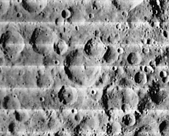
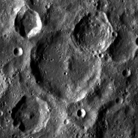
left: LOI-115-M . right: LROC . Chauvenet at center, with satellite C protruding over north east (upper right) rim.
Images
LPOD Photo Gallery Lunar Orbiter Images Apollo Images
A pair of good eyes could detect Chauvenet in these three orbital photographs made during Apollo 8 in december 1968: AS08-12-2119, 2120, and 2121. The small bright crater in frames 2119 and 2120 is Chauvenet L (very distinct on LAC 84 of the Clementine Atlas! - DannyCaes Oct 20, 2012).
Detection of Chauvenet in these three Apollo 8 frames: David Woods and colleagues (Apollo 8 Flight Journal).
Maps
(LAC zone 84D2) USGS Digital Atlas PDF
Description
Description: Wikipedia
Additional Information
Nomenclature
- Named for William Chauvenet (1820 – 1870), an early American educator. A professor of mathematics, astronomy, navigation, and surveying, he was always known and well-liked among students and faculty. He was instrumental in the founding of the United States Naval Academy at Annapolis, Maryland.
- Saha was among the long list of farside names approved by the IAU in 1970 and published in Chauvenet, 1971.
- In the planning for Apollo 8, the first manned circumlunar mission (1968), this crater (which did not then have an official name) was referred to informally as "Slayton" (source: Phil Stooke's LPOD).
- A crater west of Chauvenet is called Corneille on LTO 84-D4. Who was Corneille? See this Wikipedia-page.
LPOD Articles
Bibliography
APOLLO OVER THE MOON; A VIEW FROM ORBIT, Chapter 3: The Terrae (Part 1), Figure 33.