Chalonge
Contents
Chalonge
(formerly Lewis R)
| Lat: 20.54°S, Long: 116.44°W, Diam: 25.08 km, Depth: km, Rükl: (farside) | ||
|
|
| |


Table of Contents
[#Chalonge Chalonge]
[#Chalonge-Images Images]
[#Chalonge-Maps Maps]
[#Chalonge-Description Description]
[#Chalonge-Description-Wikipedia Wikipedia]
[#Chalonge-Additional Information Additional Information]
[#Chalonge-Nomenclature Nomenclature]
[#Chalonge-LPOD Articles LPOD Articles]
[#Chalonge-Bibliography Bibliography]
Images
LPOD Photo Gallery Lunar Orbiter Images
- LOV-5022-H2
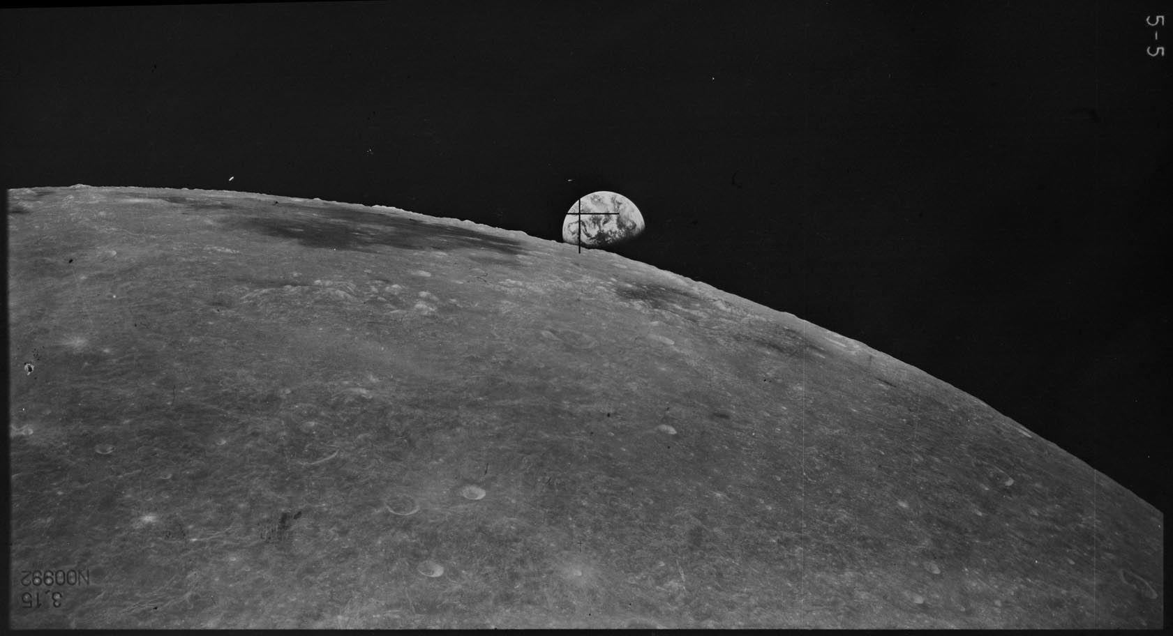
- Frame 8, made by ZOND 8, shows Chalonge near the frame's lower margin. Research: Danny Caes
Maps
(LAC zone 107B4) USGS Digital Atlas PDF
Description
Chalonge lies just some 150 kilometres away west from the outer ring (Montes Cordillera) that form part of the Orientale Basin -- a basin of the Imbrium period (3.85 - 3.15 bn years). The crater looks relatively fresh lying here on the stingy, wavy texture ejecta blanket of said basin, and on close inspection portions of its inner walls seem to have slumped down inwards onto its floor making it quite bowl-shaped in character.- JohnMoore2 JohnMoore2
Wikipedia
Additional Information
- IAU page: Chalonge
Nomenclature
- Daniel; French astronomer (1895-1977).
  - On page 215 (LAC 107) of the Clementine Atlas (2004) the name Chalonge is not printed (this crater is still called Lewis R).- DannyCaes DannyCaes Oct 16, 2011
LPOD Articles
Bibliography
Named Features -- Prev: Challis -- Next: Chamberlin
This page has been edited 1 times. The last modification was made by - tychocrater tychocrater on Jun 13, 2009 3:24 pm - afx3u3