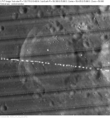
Bilharz
Contents
Bilharz - of the trio Atwood-Bilharz-Naonobu NW of Langrenus
(formerly Langrenus F)
|
Lat: 5.8°S, Long: 56.3°E, Diam: 43 km, Depth: 1.75 km, Rükl: 49 |
LO-IV-053H The rim of 29-km Atwood is partially visible on the right.
Images
LPOD Photo Gallery Lunar Orbiter Images Apollo Images
Maps
(LAC zone 80A3) LAC map Geologic map LTO map
Description
Description: Wikipedia
Additional Information
Depth data from Kurt Fisher database
- Westfall, 2000: 1.75 km
Nomenclature
- Named for Theodor Bilharz (1825-1862), a German doctor, zoologist.
- This replacement name for a formerly lettered crater was introduced on LTO-80A3 (for which it served as the chart title). The change was approved in 1976 (IAU Transactions XVIB). - Jim Mosher
- According to Neison (1880), the British Association Lunar Committee (Birt?) at one time advocated changing the name Langrenus F to Livingstone but their suggestion was not adopted in later catalogs.
- Bilharz was also once known as Vally (Cogevinas Vally), or Wally. This was one of Felix Chemla Lamèch's new names (Whitaker, p. 228). Again, the I.A.U. did not accept that name. Research Ewen A. Whitaker and Danny Caes (August 2003, mail correspondence).
LPOD Articles
Bibliography
