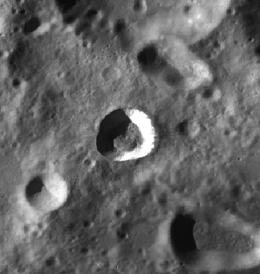
Tharp
Contents
Tharp
| Lat: 30.6°S, Long: 145.63 °E, Diam: 13.45 km, Depth: km, Rükl: (farside) |
Images
Tharp was perhaps captured on the orbital Apollo photographs of nearby craters Pavlov and Jules Verne.
Maps
(LAC zone 49B2) USGS Digital Atlas PDF (LAC 102)
Description
Raycrater between Pavlov (to the northwest) and Jules Verne (to the southeast).
Wikipedia
Additional Information
- IAU page: Tharp
Nomenclature
- Marie; Geologist and oceanographer, created first comprehensive map of the ocean floor and is credited with discovering the Mid-Atlantic Ridge (1920-1986).
LPOD Articles
Lettered craters
Bibliography
Named Features -- Prev: Thales -- Next: Theaetetus
