Belyaev
Contents
Belyaev
| Lat: 23.3°N, Long: 143.5°E, Diam: 54 km, Depth: km, Rükl: (farside) | |
Images
LPOD Photo Gallery Lunar Orbiter Images Apollo Images (see also Mare Moscoviense)
- Note: Belyaev can be found in LAC 48 of the USGS Digital Atlas of the Moon, however, as this LAC is currently under construction (as of 7 June 2009 at time of writing), updates should be checked for.
Maps
(LAC zone 48C1) USGS Digital Atlas PDF
Description
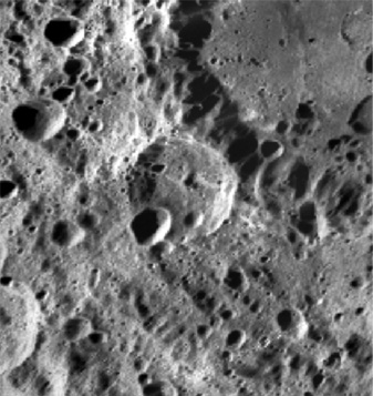
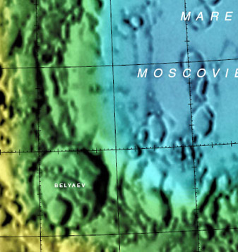
Belyaev's worn-down appearance suggests an old crater. Situated between two rims of the Moscoviense Basin -- whose main rim is 445 km wide and of the Nectarian period (3.92 - 3.85 bn years), the crater lies on ejecta deposits from that basin and so obviously is younger. Several small craters ranging from 2 to 5 kilometres lie on the rim of Belyaev, while a much larger one about 20 km across has totally wiped out its south-west portion. The floor looks relatively flat, interupted only by a series of hills that predominantly run in a NW-SE direction. - JohnMoore2 JohnMoore2
Description: Wikipedia
Additional Information
Central peak composition: Anorthosite & GNTA1 (Tompkins & Pieters, 1999)
Nomenclature
Pavel Ivanovich; Soviet cosmonaut (1925-1970).
LPOD Articles
Bibliography

