Carrillo
Contents
Carrillo - at the western part of Mare Smythii's rim
|
Lat: 2.2°S, Long: 80.9°E, Diam: 16 km, Depth: 2.7 km, Rükl: 49 |
Images
LPOD Photo Gallery Lunar Orbiter Images Apollo Images
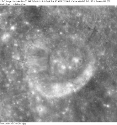
- Carrillo was also captured on Apollo 16's panoramic ITEK-camera frames AS16-P-5120 and AS16-P-5125. On these two frames one doesn't have to scroll rightward to see this crater. Carrillo is the most eye-catching formation on the leftward parts of both.
- Research: Danny Caes
Maps
Description
Description: Wikipedia
Additional Information
Depth data from Kurt Fisher database
- Westfall, 2000: 2.7 km
Nomenclature
Flores Nabor; Mexican soil engineer (1911-1967).
- The name Carillo (with one "r") appears on LTO 81B1 (December, 1973). Carrillo (with two "r"'s) was "approved as assigned" in IAU Transactions XVIIB (1979). The name does not appear to replace any previous IAU-approved designation for this feature. - Jim Mosher
LPOD Articles
Bibliography
