Difference between revisions of "Schlesinger"
(Created page with "<div id="content_view" class="wiki" style="display: block"> =Schlesinger= {| class="wiki_table" | Lat: 47.4°N, Long: 138.6°W, Diam: 97 km, Depth: km, Rükl: ''(farside)'...") |
|||
| Line 3: | Line 3: | ||
{| class="wiki_table" | {| class="wiki_table" | ||
| | | | ||
| − | Lat: 47.4°N, Long: 138.6°W, Diam: 97 km, Depth: km, Rükl: ''(farside)'' [ | + | Lat: 47.4°N, Long: 138.6°W, Diam: 97 km, Depth: km, Rükl: ''(farside)'' [[Stratigraphy|pre-Nectarian]]<br /> |
|} | |} | ||
<div id="toc"> | <div id="toc"> | ||
| Line 21: | Line 21: | ||
[http://www.lpod.org/coppermine/thumbnails.php?album=search&type=full&search=Schlesinger LPOD Photo Gallery] [http://www.lpi.usra.edu/resources/lunar_orbiter/bin/srch_nam.shtml?Schlesinger%7C0 Lunar Orbiter Images]<br /> <br /> | [http://www.lpod.org/coppermine/thumbnails.php?album=search&type=full&search=Schlesinger LPOD Photo Gallery] [http://www.lpi.usra.edu/resources/lunar_orbiter/bin/srch_nam.shtml?Schlesinger%7C0 Lunar Orbiter Images]<br /> <br /> | ||
==Maps== | ==Maps== | ||
| − | ([ | + | ([[LAC%20zone|LAC zone]] 34B2) ''[http://planetarynames.wr.usgs.gov/images/Lunar/lac_34.pdf USGS Digital Atlas PDF]''<br /> <br /> |
==Description== | ==Description== | ||
<br /> | <br /> | ||
Revision as of 16:15, 15 April 2018
Contents
Schlesinger
|
Lat: 47.4°N, Long: 138.6°W, Diam: 97 km, Depth: km, Rükl: (farside) pre-Nectarian |
Table of Contents
[#Schlesinger Schlesinger]
[#Schlesinger-Images Images]
[#Schlesinger-Maps Maps]
[#Schlesinger-Description Description]
[#Schlesinger-Description: Wikipedia Description: Wikipedia]
[#Schlesinger-Additional Information Additional Information]
[#Schlesinger-Nomenclature Nomenclature]
[#Schlesinger-LPOD Articles LPOD Articles]
[#Schlesinger-Bibliography Bibliography]
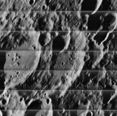
| LOV-028-h3 |
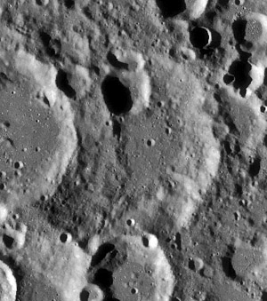
LRO-WAC // |
Images
LPOD Photo Gallery Lunar Orbiter Images
Maps
(LAC zone 34B2) USGS Digital Atlas PDF
Description
Description: Wikipedia
Additional Information
Nomenclature
- Frank Schlesinger (May 11, 1871 – July 10, 1943) was an American astronomer. He worked at Yerkes Observatory and pioneered the use of photographic methods to determine stellar parallaxes. He made major contributions to astrometry. He compiled and published the Yale Bright Star Catalogue.
 - Schlesinger B (51° North/ 135° West) was called Banachiewicz on the lightblue colored farside map in Patrick Moore's Atlas of the Universe (1983).
  - It's interesting to find out if Schlesinger's Elliptical Halo (mentioned on page 227 in M.G.J.Minnaert's Light and Color in the Outdoors) was discovered by the American astronomer Frank Schlesinger.
LPOD Articles
Bibliography
This page has been edited 1 times. The last modification was made by - tychocrater tychocrater on Jun 13, 2009 3:24 pm - afx3u2//

