Pease
Contents
Pease
| Lat: 12.5°N, Long: 106.1°W, Diam: 38 km, Depth: km, Rükl: (farside) |
Table of Contents
[#Pease Pease]
[#Pease-Images Images]
[#Pease-Maps Maps]
[#Pease-Description Description]
[#Pease-Description: Wikipedia Description: Wikipedia]
[#Pease-Northern Pease and Southern Pease? Northern Pease and Southern Pease?]
[#Pease-Nomenclature Nomenclature]
[#Pease-LPOD Articles LPOD Articles]
[#Pease-Bibliography Bibliography]


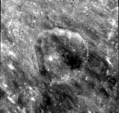
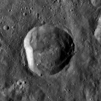
left: Clementine . right: LROC
Images
LPOD Photo Gallery Lunar Orbiter Images Apollo Images
Maps
([/LAC%20zone LAC zone] 72A1) USGS Digital Atlas PDF
Description
Description: Wikipedia
Northern Pease and Southern Pease?
During the mission of Apollo 16 in april 1972, CMP Ken Mattingly described the distinct colors of the nearside formation which is unofficially known as the Lassell Massif. In the description of his visual observations, he mentioned something which sounded like "Northern Pease and Southern Pease". This should have been (as I think of it) Northern Piece and Southern Piece (of the Lassell Massif). There is absolutely no connection with the farside crater of this page! (Pease).
  See page Lassell for Ken Mattingly's descriptions of the colored Lassell Massif.
 - DannyCaes DannyCaes Sep 18, 2016
Nomenclature
Francis Gladheim; American astronomer (1881-1938).
LPOD Articles
Bibliography
This page has been edited 1 times. The last modification was made by - tychocrater tychocrater on Jun 13, 2009 3:24 pm - afx3u2