Mare Orientale
Contents
Orientale Basin
(unofficial name; official IAU feature name for central 327 km of mare: Mare Orientale)
|
Lat: 19.4°S, Long: 92.8°W, Main ring diam: 930 km, Basin depth: 6.04 km, [/R%C3%BCkl%2050 Rükl: 50] & VII (farside) |


Left: Lunar Orbiter IV image 187M The IAU's Mare Orientale is the dark pool at the center of image, surrounded by the rings of the impact basin.
Right: Paolo Lazzarotti The dark ponds in this Earth-based view are [/Lacus%20Autumni Lacus Autumni] (figure-8 shape near top) and [/Lacus%20Veris Lacus Veris] (snaky shape paralleling limb), neither very conspicuous in the Lunar Orbiter view. A thin sliver of the dark floor of Mare Orientale is visible along the limb at the bottom. See the Feb. 19, 2005 LPOD for an annotated version of this image.
Table of Contents
[#Orientale Basin Orientale Basin]
[#Orientale Basin-Images Images]
[#Orientale Basin-Maps Maps]
[#Orientale Basin-Basin Classification Basin Classification]
[#Orientale Basin-Description Description]
[#Orientale Basin-Description-Wikipedia Wikipedia]
[#Orientale Basin-Additional Information Additional Information]
[#Orientale Basin-Nomenclature Nomenclature]
[#Orientale Basin-LROC Articles LROC Articles]
[#Orientale Basin-LPOD Articles LPOD Articles]
[#Orientale Basin-Lunar 100 Lunar 100]
[#Orientale Basin-Bibliography Bibliography]
Images
LPOD Photo Gallery Lunar Orbiter Images Apollo Images Zond Images
- Photographed in color at a high sun angle by the [/Galileo%20spacecraft Galileo spacecraft] in 1990.
- A fine print from Lunar Orbiter IV image 187M (see above) was included on pages 210-211 of the article The Moon by Kenneth F. Weaver (National Geographic, February, 1969).
- Strange to say, during the mission of Apollo 17 in december 1972, Mare Orientale was photographed in earthlight, when the lunar sunrise-terminator was still too eastward. These earthlight photographs are included in Apollo 17's Magazines 158-WW and 161-ZZ (35mm NIKON B&W photographs), see: Sheet 8 of A17's Index Maps. Some of those photographs were reproduced in the Apollo 17 Preliminary Science Report.
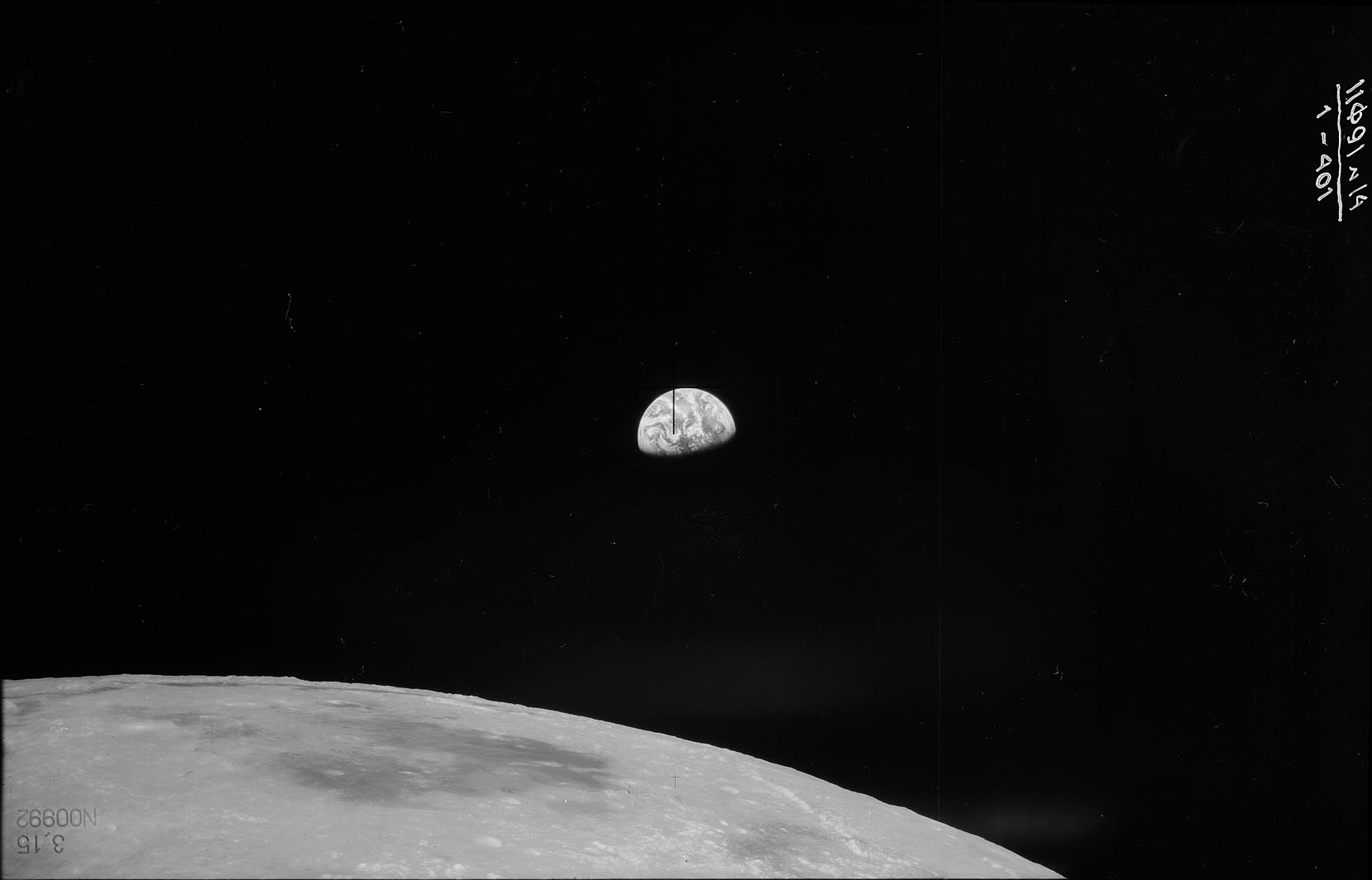
- Frame 1 of Zond 8's spectacular photographs of the Mare Orientale region and gibbous Earth in the distance could be the "Russian equivalent" of William Anders's well-known photograph of the Earth above the lunar horizon (made during the mission of Apollo 8).
- Research additional Lunar Orbiter, Apollo, and Zond photographs: Danny Caes
- LROC mosaic.
Maps
([/LAC%20zone LAC zone] 108B2) In [/USGS%20Digital%20Atlas USGS Digital Atlas] mapped on LAC-90 PDF, LAC-73 PDF (not yet available), LAC-108 PDF, and LAC-91 PDF (not yet available). For an overview see Farside PDF. See also the older LMP-1 and LMP-2. LRO LOLA Topo Map (See 4.16.2010)
[/Lunar%20Basins Basin Classification]
(description of terms and most numeric basin data from Wood, C.A. (2004) Impact Basin Database)
| Certainty of Existence |
USGS Age |
Wilhelms Age Group |
Ring Diameters |
Mare Thickness |
Mascon |
| Certain |
Imbrian |
12 |
320, 480, 620, 930, 1300, 1900 km |
0.6-0.7 km |
Yes; +18 mG gravity anomaly |
- Topographic map with main basin ring overlay and with all six suspected rings.
Description
Wikipedia
Additional Information
- Mare area of 69,000 km^2 according to measurements by Jim Whitford-Stark.
- Western rim is estimated to be +6 km higher than the average (1738 km) lunar radius, and the floor of the Maunder crater is -5 km (below the avergae radius)
- As might be expected from its [/selenographic%20coordinates selenographic] longitude, the dark floor of Mare Orientale is visible from Earth under favorable conditions.
Nomenclature
The IAU feature name means "Eastern Sea".
- Named by Franz circa 1906 (Whitaker: [/Mapping%20and%20Naming%20the%20Moon Mapping and Naming the Moon], p. 225; Baum & Whitaker, p. 132).
- Although apparently known to Blagg, Franz' name Mare Orientale was not included in the original IAU nomenclature of [/Blagg%20and%20M%C3%BCller Blagg and Müller] because its center is beyond 90 degrees longitude (Baum & Whitaker, p. 132).
- The original 1935 IAU nomenclature of [/Named%20Lunar%20Formations Named Lunar Formations] did include the names [/Montes%20Cordillera Cordillera Mts] and [/Montes%20Rook Rook Mts] for certain features in the two most prominent basin rings visible from Earth at favorable libration, as well as for several dark mare areas: [/Lacus%20Autumni Mare Autumnae], [/Lacus%20Veris Mare Veris], and [/Lacus%20Aestatis Mare Aestatis] and [/Mare%20Hiemis Mare Hiemis] (a discontinued name for the dark floor of [/Schl%C3%BCter Schlüter]) -- names also given by Franz (Baum & Whitaker, p. 132).
- Named Mare X by [/Hugh%20Percy%20Wilkins H. P. Wilkins] (who was apparently unacquainted with Franz' map) in 1938 (JBAA 48, page 80). Franz' name was recalled by [/McDonald T. L. MacDonald] on page 270.
- According to Baum & Whitaker (p. 134), the name Mare Orientale for the dark pool in the center of the present feature was "reinstated" in Kuiper's [/Photographic%20Lunar%20Atlas Photographic Lunar Atlas] of 1960, although this is not mentioned in the [/PLA%20Table%20III table of corrections] which was approved by the IAU in [/IAU%20Transactions%20XIB 1961]. Nor is it mentioned in the revisions of limb nomenclature approved in connection with the [/Rectified%20Lunar%20Atlas Rectified Lunar Atlas] in [/IAU%20Transactions%20XIIB 1964], the approval date mentioned in the on-line [/IAU%20Planetary%20Gazetteer IAU Planetary Gazetteer].
- By whatever path Mare Orientale came to be an official IAU-approved name, the impact basin is named after it.
- The revelation of the detailed appearance of the basin afforded by the [/Lunar%20Orbiter Lunar Orbiter] views stimulated much discussion about possible revisions in the [/IAU%20nomenclature IAU nomenclature] for the entire area. G.P. Kuiper proposed renaming the entire basin Mare Annulatum (Ringed Sea). Other names under consideration included [/Mare%20Pacificus Lacus Pacificus] ("Mare Pacificus" according to Whitaker) for the inner mare (Orientale), and Annulus Concordiae for the area between the [/Montes%20Rook Rook] and [/Montes%20Cordillera Cordillera] mountains. The final resolution seems to be embodied in a July 15, 1969 memo written by IAU Lunar Nomenclature Working Group chairman Donald Menzel:
- "We have agreed that the central part of the great formation should retain the name Mare Orientale. We have agreed to change the names of Mare Veris and Mare Autumni to [/Lacus%20Veris Lacus Veris] and [/Lacus%20Autumni Lacus Autumni]. Mare Aestatis becomes [/Lacus%20Aestatis Lacus Aestatis]. We define [/Montes%20Rook Montes Rook] as applying to the circular mountains bordering Mare Orientale. We recognize that this border is not entirely complete, but it is clearly part of the same basic system and therefore deserves the same name. The same applies to [/Montes%20Cordillera Montes Cordillera], or the outer boundary of the same formation. These apply to the whole ring."
- According to Baum and Whitaker (p. 134) "At the 1970 IAU convention in Brighton, these proposals were passed without further dissent." However, in fact only the renaming of the three small mare to "lacus" is mentioned [/IAU%20Transactions%20XIVB there].
- The IAU diameter of 327 km for Mare Orientale refers to the inner mare only. The unofficial name [/Mare%20Pacificus Mare Pacificus], mentioned in the preceding memo, has also been used, perhaps more commonly, to describe a prominent 175 km ash ring straddling the Rook and Cordillera rings in the southwest. That feature is on the terminator, and hence hard to see in the Lunar Orbiter image at the top of this page. - JimMosher JimMosher
- Geologists have added many more informal names for features within the impact basin (see, for example, Head, 1974 and Spudis et al., 1984), including such non-IAU-defined terms as the Inner and Outer Rook Rings/Mountains, the Maunder Formation, the Montes Rook Formation and the Hevelius Formation.
- Somewhere south of Mare Orientale (northeast of [/Lagrange Lagrange] and Wilkins's Fresa) was Wilkins's and Paluzie-Borrell's crater called Juan, a name the I.A.U. did not accept. Juan (Jorge Juan Y Santacilia) was a Spanish geographer (1713-1773). ([/Wilkins%20and%20Moore The Moon] by H.P. Wilkins and P. Moore)
LROC Articles
LPOD Articles
- Still on the Limb
- Looking Across Orientale
- New Lunar Maps!
- Imbrium Unflooded
- The Edge of a Bull's Eye
- History of an Eastern Name
- Floating Lava
- A Mountain Range or a Scarp?
- Rims on the Limb
- Inside Orientale
- An Overlooked Gem
- 3-D Ball (Kaguya's superb Bass-Relief map of the moon's western hemisphere)
- Textured Contrasts (Mare Orientale during Waning Crescent Moon)
- Moon Woman (Mare Orientale and Carle Pieters)
- New World Preview
Lunar 100
- [/Lunar%20100 L80]: Youngest large impact basin.
Bibliography
- Johnson, B. C. et al (2016). Formation of the Orientale lunar multiring basin – Science 28 Oct 2016: Vol. 354, Issue 6311, pp. 441-444. DOI: 10.1126/science.aag0518, 2016. - JohnMoore2 JohnMoore2
- Zuber, M. T. et al (2016). Gravity field of the Orientale basin from the Gravity Recovery and Interior Laboratory Mission – Science 8 Oct 2016: Vol. 354, Issue 6311, pp. 438-441. DOI: 10.1126/science.aag0519, 2016. - JohnMoore2 JohnMoore2
- Cahill, J. T. S. et al (2011). An Analysis of Orientale Basin: Integration of Mini-RF Radar and Optical Mapping Products – 42nd LPSC Conference (Mar), 2011.
- Head, J.W. 2009 et al., Characteristics of volcanic deposits associated with the Orientale Basin from Chandrayaan-1 Moon Mineralogy Mapper (M3) data: The Orientale dark ring. The 50-th Vernadsky-Brown Microsymposium on Comparative Planetology, Russian Academy of Sciences, Moscow, Russia, October 12-14, 2009.
- Head, J.W. 2009 et al., Morphology and distribution of volcanic vents in the Orientale Basin from Chandrayyan-1 Moon Mineralogy Mapper (M3) data. The 50-th Vernadsky-Brown Microsymposium on Comparative Planetology, Russian Academy of Sciences, Moscow, Russia, October 12-14, 2009.
- Head, J.W. 2009 et al., Mare volcanic deposits in the Orientale Basin: Distribution and thickness from Chandrayyan-1 Moon Mineralogy Mapper (M3) data. The 50-th Vernadsky-Brown Microsymposium on Comparative Planetology, Russian Academy of Sciences, Moscow, Russia, October 12-14, 2009.
- Head, J.W. 2009 et al., Characteristics, affinities, and ages of volcanic deposits associated with the Orientale Basin from Chandrayyan-1 Moon Mineralogy Mapper (M3) data: Mare stratigraphy. The 50-th Vernadsky-Brown Microsymposium on Comparative Planetology, Russian Academy of Sciences, Moscow, Russia, October 12-14, 2009.
- Head, J.W. 2009 et al., The Lunar Orientale Basin: Structure and mineralogy from Chandrayyan-1 Moon Mineralogy Mapper (M3) data. The 50-th Vernadsky-Brown Microsymposium on Comparative Planetology, Russian Academy of Sciences, Moscow, Russia, October 12-14, 2009.
- Head, J.W. 2009 et al., Lunar Orientale Basin and vicinity: Topographic characterization from Lunar Orbiting Laser Altimeter (LOLA) data. The 50-th Vernadsky-Brown Microsymposium on Comparative Planetology, Russian Academy of Sciences, Moscow, Russia, October 12-14, 2009.
- [/Baum%20and%20Whitaker%2C%202007 Baum and Whitaker, 2007]
- Wood, C.A. 2006. A Rare Glimpse of Mare Orientale. S&T Online Article << no longer available?? - JimMosher JimMosher Oct 30, 2007 >>
- Wood, C.A. Ideal Orientale. S&T Jan 2005 v. 109 p. 73.
- Wood, C.A. Elusive Orientale. S&T Oct 2003 v. 106 p. 116.
- Bussey, D.B.J. & P.D. Spudis. 1997. Compositional analysis of the Orientale basin using full resolution Clementine data: Some preliminary results. Geophysical Research Letters v24, p445-448.
- Hill, Harold. 1991. [/Hill%2C%201991 A Portfolio of Lunar Drawings], pages 148, 149, 150, 151.
- Spudis, P., B.R. Hawke & P. Lucey. 1984. Composition of Orientale basin deposits and implications for the lunar basin-forming process. Lunar and Planetary Science Conference, 15th. Journal of Geophysical Research, Supplement (ISSN 0148-0227), vol. 89, Nov. 15, 1984, p. C197-C210.
- Head, J.W. 1974. Orientale multi-ringed basin interior and implications for the petrogenesis of lunar highland samples. Earth, Moon, and Planets v. 11 p327-356.
This page has been edited 1 times. The last modification was made by - tychocrater tychocrater on Jun 13, 2009 3:24 pm - afx3u3