File:Normal South Pole-Aitken Basin LIDAR LTVT.JPG
Revision as of 00:49, 16 April 2018 by Api (talk | contribs) (Api uploaded a new version of File:Normal South Pole-Aitken Basin LIDAR LTVT.JPG)

No higher resolution available.
Normal_South_Pole-Aitken_Basin_LIDAR_LTVT.JPG (373 × 400 pixels, file size: 58 KB, MIME type: image/jpeg)
Image for normal_South_Pole-Aitken__Basin_LIDAR_LTVT.JPG
File history
Click on a date/time to view the file as it appeared at that time.
| Date/Time | Thumbnail | Dimensions | User | Comment | |
|---|---|---|---|---|---|
| current | 00:49, 16 April 2018 | | 373 × 400 (58 KB) | Api (talk | contribs) | Image for normal_South_Pole-Aitken__Basin_LIDAR_LTVT.JPG |
| 00:49, 16 April 2018 | 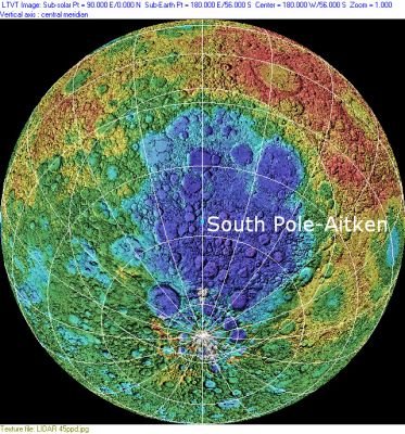 | 373 × 400 (58 KB) | Api (talk | contribs) | Image for normal_South_Pole-Aitken__Basin_LIDAR_LTVT.JPG |
- You cannot overwrite this file.
File usage
The following 2 pages link to this file: