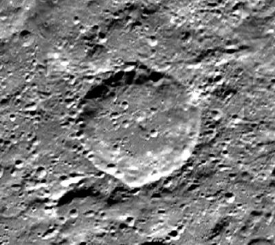
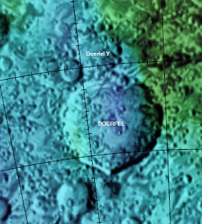
Doerfel
Contents
Doerfel
|
Lat: 69.1°S, Long: 107.9°W, Diam: 68 km, Depth: km, Rükl: (farside), [/Stratigraphy Upper Imbrian] | |
Table of Contents
[#Doerfel Doerfel]
[#Doerfel-Images Images]
[#Doerfel-Maps Maps]
[#Doerfel-Description Description]
[#Doerfel-Description: Wikipedia Description: Wikipedia]
[#Doerfel-Additional Information Additional Information]
[#Doerfel-Nomenclature Nomenclature]
[#Doerfel-LPOD Articles LPOD Articles]
[#Doerfel-Bibliography Bibliography]
Images
LPOD Photo Gallery Lunar Orbiter Images
Maps
([/LAC%20zone LAC zone] 143A3) USGS Digital Atlas PDF
Description
Description: Wikipedia
Additional Information
Nomenclature
- Named for Georg Samuel Doerfel, a German astronomer (1643-1688).
- The name [/Montes%20Doerfel Montes Doerfel], for some peaks seen at the [/limb limb], was given by [/Johann%20Schr%C3%B6ter Johann Schröter] and adopted by the [/IAU IAU]. Although later [/lunar%20mons discontinued] it was printed on some of the modern moon maps. The crater Doerfel is in the same general area.
LPOD Articles
Bibliography
Hill, Harold - [/A%20Portfolio%20of%20Lunar%20Drawings A Portfolio of Lunar Drawings], Cambridge 1991, pages 130-131 ([/Bailly Bailly] and [/Montes%20Doerfel the Doerfels]).
This page has been edited 1 times. The last modification was made by - tychocrater tychocrater on Jun 13, 2009 3:24 pm - afx3u2

