Helberg
Contents
Helberg
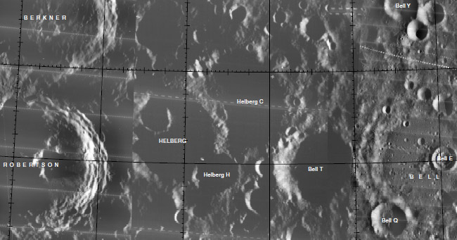
| Lat: 22.5°N, Long: 102.2°W, Diam: 62 km, Depth: km, Rükl: (farside) | ||
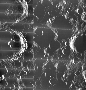
Middle: Lunar Orbiter view from Map-A-Planet.
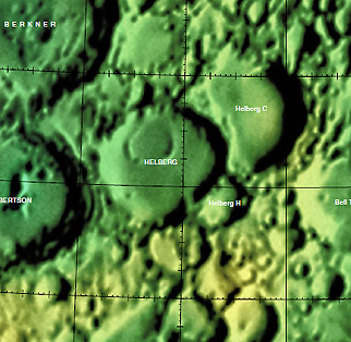
Right: Color-coded topography LAC 54 from USGS Digital Atlas.
Table of Contents
[#Helberg Helberg]
[#Helberg-Images Images]
[#Helberg-Maps Maps]
[#Helberg-Description Description]
[#Helberg-Description: Wikipedia Description: Wikipedia]
[#Helberg-Additional Information Additional Information]
[#Helberg-Nomenclature Nomenclature]
[#Helberg-LPOD Articles LPOD Articles]
[#Helberg-Lettered Craters Lettered Craters]
[#Helberg-Bibliography Bibliography]
Images
LPOD Photo Gallery Lunar Orbiter Images
The eastern sunlit inner slopes of Helberg (at the local evening terminator) were captured on Lunar Orbiter V photographs 5013-h2, 5014-h2, 5015-h2, 5016-h2, 5017-h2, 5018-h2, 5019-h2, and 5020-h2.
Research Danny Caes
Maps
(LAC zone 54D2) USGS Digital Atlas PDF
Description
Description: Wikipedia
Additional Information
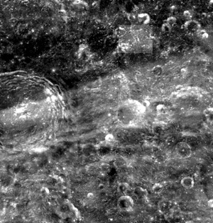
The east-northeastern one of the two distinct rays from nearby crater Ohm runs over Helberg and Robertson immediately west-southwest of it (see Clementine photograph above). - DannyCaes DannyCaes Aug 15, 2015
Nomenclature
Robert J.; American aeronautical engineer (1906-1967).
 Rimae Helberg (a certain amateur selenologist's unofficial name for the rilles on the floor of Helberg).
LPOD Articles
Lettered Craters

Excerpt from the //USGS Digital Atlas of the Moon.
Bibliography
This page has been edited 1 times. The last modification was made by - tychocrater tychocrater on Jun 13, 2009 3:24 pm - afx3u2


