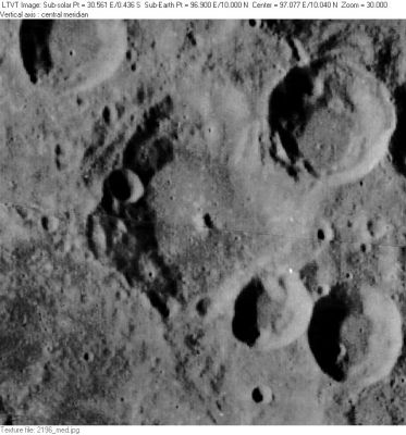
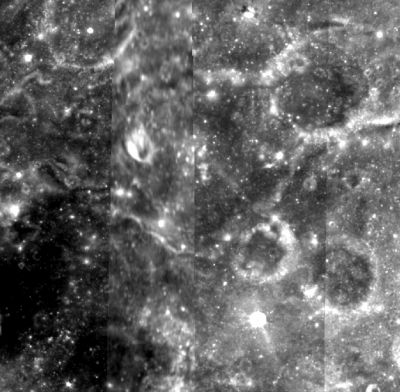
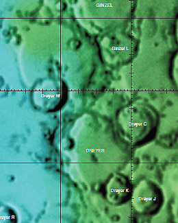
Dreyer
Contents
Dreyer
| Lat: 10.0°N, Long: 96.9°E, Diam: 61 km, Depth: km, Rükl: (farside) | ||
Table of Contents
[#Dreyer Dreyer]
[#Dreyer-Images Images]
[#Dreyer-Maps Maps]
[#Dreyer-Description Description]
[#Dreyer-Description: Wikipedia Description: Wikipedia]
[#Dreyer-Additional Information Additional Information]
[#Dreyer-Nomenclature Nomenclature]
[#Dreyer-LPOD Articles LPOD Articles]
[#Dreyer-Bibliography Bibliography]
Images
LPOD Photo Gallery Lunar Orbiter Images Apollo Images
Maps
(LAC zone 64A3) USGS Digital Atlas PDF
Description
Description: Wikipedia
Additional Information
- Dreyer, and the neighboring craters Ginzel (to the north) and Erro (to the south) appear to overlay one of the principal rings of the older Smythii basin, possibly accounting for the somewhat rugged terrain in the area.
- Portions of the southwest rim of Dreyer, and the terrain to its south, may be visible as a bump (labeled "crater?") on the limb in the LPOD of June 17, 2009. The central part of Dreyer is seen as a notch to the north of the labeled bump. - JimMosher JimMosher
Nomenclature
- The name honors Johann Ludwig Emil Dreyer (1852-1926), a Danish astronomer best known as compiler/editor of the New General Catalogue of Nebulae and Clusters of Stars. Although born in Denmark, Dreyer spent his professional career in Ireland.
- Dreyer was in the long list of farside names published by the IAU in Menzel, 1971.
LPOD Articles
Bibliography
This page has been edited 1 times. The last modification was made by - tychocrater tychocrater on Jun 13, 2009 3:24 pm - afx3u2


