Perepelkin
Contents
Perepelkin (aka NASA's Carr)
| Lat: 10.0°S, Long: 129.0°E, Diam: 97 km, Depth: km, Rükl: (farside) |
Table of Contents
[#Perepelkin (aka NASA's Carr) Perepelkin (aka NASA's Carr)]
[#Perepelkin (aka NASA's Carr)-Images Images]
[#Perepelkin (aka NASA's Carr)-Maps Maps]
[#Perepelkin (aka NASA's Carr)-Description Description]
[#Perepelkin (aka NASA's Carr)-Description: Wikipedia Description: Wikipedia]
[#Perepelkin (aka NASA's Carr)-Additional Information Additional Information]
[#Perepelkin (aka NASA's Carr)-Nomenclature Nomenclature]
[#Perepelkin (aka NASA's Carr)-LPOD Articles LPOD Articles]
[#Perepelkin (aka NASA's Carr)-Bibliography Bibliography]


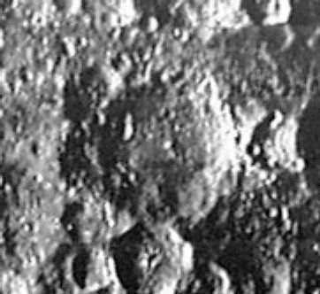
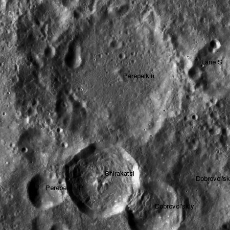
left: Lunar Orbiter III . right: LROC
Images
LPOD Photo Gallery Lunar Orbiter Images Apollo Images
Perepelkin was also captured by Apollo 13, on Hasselblad frame AS13-60-8621.
Research: Patricio Leon (Nunki)
Maps
(LAC zone 83C2) USGS Digital Atlas PDF
Description
Description: Wikipedia
Additional Information
Nomenclature
Yevgenii Yakovlevich; Soviet astrophysicist (1906-1938).
- Perepelkin was among the long list of farside names approved by the IAU in 1970 and published in Menzel, 1971.
- In the planning for Apollo 8, the first manned circumlunar mission (1968), this crater (which did not then have an official name) was referred to informally as "Carr" (source: Phil Stooke's LPOD).
LPOD Articles
Bibliography
This page has been edited 1 times. The last modification was made by - tychocrater tychocrater on Jun 13, 2009 3:24 pm - afx3u2