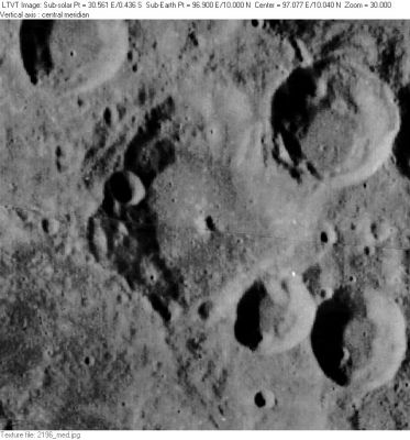
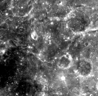
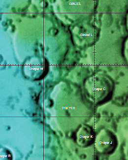
Dreyer
Contents
Dreyer
| Lat: 10.0°N, Long: 96.9°E, Diam: 61 km, Depth: km, Rükl: (farside) | ||
Table of Contents
[#Dreyer Dreyer]
[#Dreyer-Images Images]
[#Dreyer-Maps Maps]
[#Dreyer-Description Description]
[#Dreyer-Description: Wikipedia Description: Wikipedia]
[#Dreyer-Additional Information Additional Information]
[#Dreyer-Nomenclature Nomenclature]
[#Dreyer-LPOD Articles LPOD Articles]
[#Dreyer-Bibliography Bibliography]
Images
LPOD Photo Gallery Lunar Orbiter Images Apollo Images
Maps
([/LAC%20zone LAC zone] 64A3) USGS Digital Atlas PDF
Description
Description: Wikipedia
Additional Information
- Dreyer, and the neighboring craters [/Ginzel Ginzel] (to the north) and [/Erro Erro] (to the south) appear to overlay one of the principal rings of the older [/Mare%20Smythii Smythii basin], possibly accounting for the somewhat rugged terrain in the area.
- Portions of the southwest rim of Dreyer, and the terrain to its south, may be visible as a bump (labeled "crater?") on the limb in the LPOD of June 17, 2009. The central part of Dreyer is seen as a notch to the north of the labeled bump. - JimMosher JimMosher
Nomenclature
- The name honors Johann Ludwig Emil Dreyer (1852-1926), a Danish astronomer best known as compiler/editor of the New General Catalogue of Nebulae and Clusters of Stars. Although born in Denmark, Dreyer spent his professional career in Ireland.
- Dreyer was in the long list of farside names published by the [/IAU IAU] in [/Menzel%2C%201971#DREYER Menzel, 1971].
LPOD Articles
Bibliography
This page has been edited 1 times. The last modification was made by - tychocrater tychocrater on Jun 13, 2009 3:24 pm - afx3u2


