Regiomontanus
Contents
Regiomontanus
|
Lat: 28.28°S, Long: 1.09°W, Diam: 126.64 km, Depth: 3.61 km, Rükl: 55, pre-Nectarian |
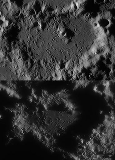
Evening and morning in Regiomontanus by Peter Oberč, Slovenia
Images
LPOD Photo Gallery Lunar Orbiter Images Apollo Images
Maps
(LAC zone 95D3) LAC map Geologic map
Description
Description: Elger
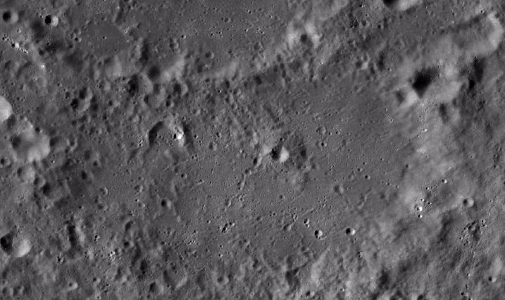
(IAU Directions) REGIOMONTANUS.--A still more irregular walled-plain, of about the same area, closely associated with the S. flank of Purbach, having a rampart of a similar complex type, traversed by passes, longitudinal valleys, and other depressions. Schmidt alone shows the especially fine example of a crater-row, which is not a difficult object, in connection with the S.W. wall. Excepting one crater, nearly central, and some inconspicuous ridges, I have seen no detail on the floor. Schmidt, however, records many features.
Description: Wikipedia
Additional Information
Depth data from Kurt Fisher database
- Westfall, 2000: 3.61 km
- Cherrington, 1969: 2.95 km
- Central peak height
- Sekiguchi, 1972: 1.2 km - fatastronomer fatastronomer
- Central peak has a summit crater 5.5 km in diameter--Sekiguchi, 1972- fatastronomer fatastronomer
Nomenclature
Johannes Müller von Königsberg (June 6, 1436 – July 6, 1476), known by his Latin pseudonym Regiomontanus, was an important German mathematician, astronomer and astrologer.
LPOD Articles
Are Central Peaks Volcanoes
Like Getting New Glasses
Lunar 100
L46: Possible volcanic peak.
Bibliography
Wood, C.A. 7/2006. False Volcanoes on the Moon. S&T 112:(1):66-67

