Lodygin
Contents
Lodygin
| Lat: 17.7°S, Long: 146.8°W, Diam: 62 km, Depth: km, Rükl: (farside) |
Table of Contents
[#Lodygin Lodygin]
[#Lodygin-Images Images]
[#Lodygin-Maps Maps]
[#Lodygin-Description Description]
[#Lodygin-Description: Wikipedia Description: Wikipedia]
[#Lodygin-Additional Information Additional Information]
[#Lodygin-Nomenclature Nomenclature]
[#Lodygin-LPOD Articles LPOD Articles]
[#Lodygin-Bibliography Bibliography]


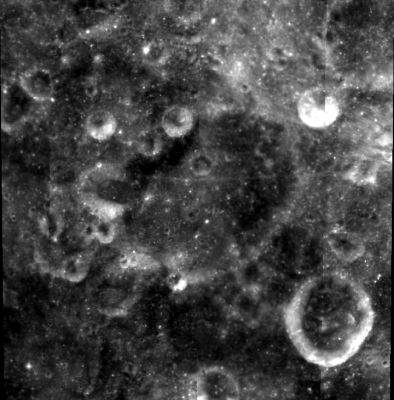
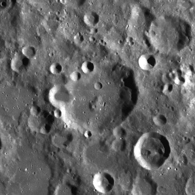
left: Clementine . right: LROC
Images
LPOD Photo Gallery Lunar Orbiter Images Apollo Images
Frame 31, made by ZOND 8, shows Lodygin about "midway" between the frame's central cross and the left margin.
Research: Danny Caes
Maps
(LAC zone 106A1) USGS Digital Atlas PDF
Description
Description: Wikipedia
Additional Information
Nomenclature
Aleksandr Nikolaevich; Russian inventor (1847-1923).
LPOD Articles
Bibliography
This page has been edited 1 times. The last modification was made by - tychocrater tychocrater on Jun 13, 2009 3:24 pm - afx3u2