Kostinskiy
Contents
Kostinskiy - and Rimae Kostinskiy
| Lat: 14.7°N, Long: 118.8°E, Diam: 75 km, Depth: km, Rükl: (farside) |


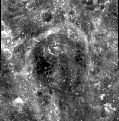
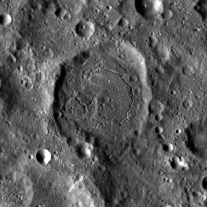
Upper image: Clementine .
Lower image: LROC. Floor-fractured crater Kostinskiy lies at the western border of the farside highlands; the crater at the bottom left corner of the image is Guyot.
Note the system of pronounced rilles on the floor of Kostinskiy. They never received an official name. Let's call them Rimae Kostinskiy.
Images
LPOD Photo Gallery Lunar Orbiter Images Apollo Images
Maps
(LAC zone 65A2) USGS Digital Atlas PDF
Description
Description: Wikipedia
Additional Information
Curious chain of depressions north-northwest of Kostinskiy D: http://bit.ly/2F8g50S
Nomenclature
Sergey Konstantinovich; Soviet astronomer (1867-1936).
 Rimae Kostinskiy (an unofficial name from D.Caes for the system of pronounced rilles on the floor of Kostinskiy).
LPOD Articles
Bibliography