Cajori
Contents
Cajori
| Lat: 47.4°S, Long: 168.8°E, Diam: 70 km, Depth: km, Rükl: (farside) | |
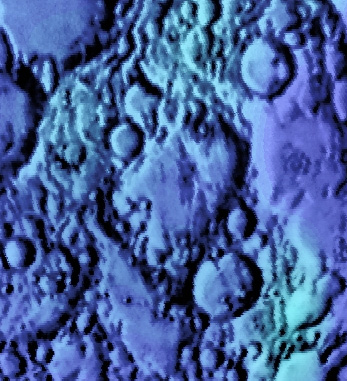
Right: Color-coded Lac 119 from USGS Digital Atlas
Table of Contents
[#Cajori Cajori]
[#Cajori-Images Images]
[#Cajori-Maps Maps]
[#Cajori-Description Description]
[#Cajori-Description: Wikipedia Description: Wikipedia]
[#Cajori-Additional Information Additional Information]
[#Cajori-Nomenclature Nomenclature]
[#Cajori-LPOD Articles LPOD Articles]
[#Cajori-Bibliography Bibliography]
Images
LPOD Photo Gallery Lunar Orbiter Images Apollo Images
Maps
(LAC zone 119C4) USGS Digital Atlas PDF
Description
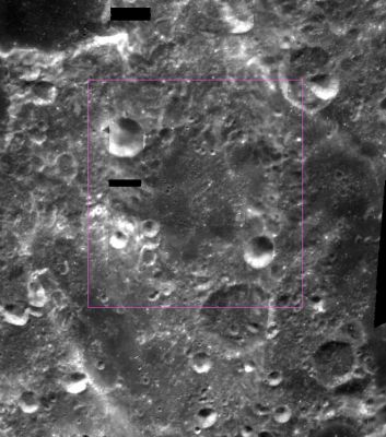
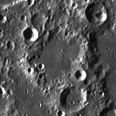
Cajori lies within the South Pole Aitken Basin -- a 2500 kilometre-wide basin of the pre-Nectarian period (~ 4.6 to 3.92 bn years). The crater looks very worn and is, somewhat, lost and altered amidst a jumble of impacts crater both to its north and south -- mixed, possibly, with lava flooding deposits within its interior. Cajori doesn't take on your regular circular-looking appearance, but rather looks skewed diagonally in a north-east/south-west direction due to these latter influences.
Description: Wikipedia
Additional Information
Nomenclature
Florian; American mathematician (1859-1930).
LPOD Articles
Bibliography
This page has been edited 1 times. The last modification was made by - tychocrater tychocrater on Jun 13, 2009 3:24 pm - afx3u2


