Galois
Contents
Galois
| Lat: 14.2°S, Long: 151.9°W, Diam: 222 km, Depth: km, Rükl: (farside), pre-Nectarian |
Table of Contents
[#Galois Galois]
[#Galois-Images Images]
[#Galois-Maps Maps]
[#Galois-Description Description]
[#Galois-Description: Wikipedia Description: Wikipedia]
[#Galois-Additional Information Additional Information]
[#Galois-Nomenclature Nomenclature]
[#Galois-LPOD Articles LPOD Articles]
[#Galois-Bibliography Bibliography]


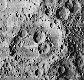
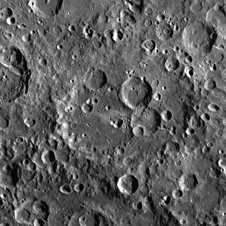
left: Lunar Orbiter I . right: LROC . Galois eroded rim is better recognized in eastern sector. Note prominent South Pole - Aitken basin rim at bottom image.
Images
LPOD Photo Gallery Lunar Orbiter Images Apollo Images
Frame 36, made by Zond 8, shows most of Galois near the frame's left margin.
Research: Danny Caes
Maps
(LAC zone 87C3) USGS Digital Atlas PDF
Description
Description: Wikipedia
Additional Information
Nomenclature
- Evariste; French mathematician (1811-1832).
- The name Galois was printed as GALLOIS on page 175 of the Clementine Atlas (in both the 2004 and 2012 editions). - DannyCaes DannyCaes Mar 10, 2014
LPOD Articles
Bibliography
This page has been edited 1 times. The last modification was made by - tychocrater tychocrater on Jun 13, 2009 3:24 pm - afx3u2