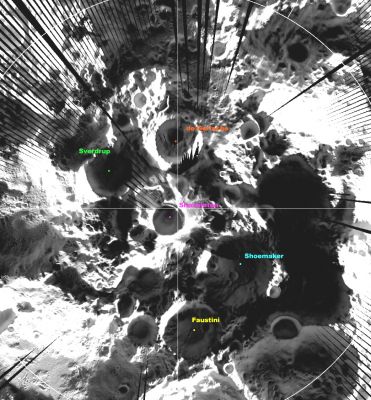
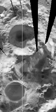
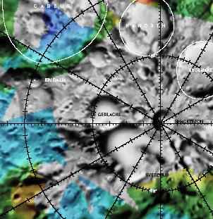
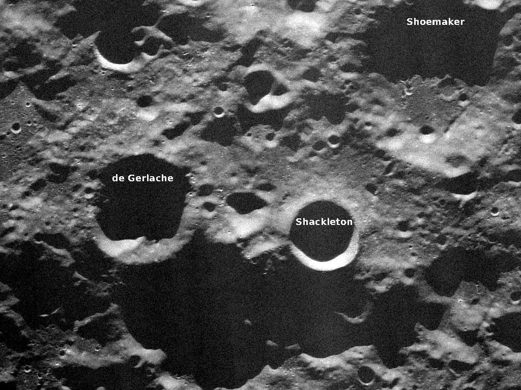
De Gerlache
Contents
de Gerlache
|
Lat: 88.5°S, Long: 87.1°W, Diam: 32.4 km, Depth: km, [/R%C3%BCkl%2073 Rükl: 73] | ||
Table of Contents
[#de Gerlache de Gerlache]
[#de Gerlache-Images Images]
[#de Gerlache-Maps Maps]
[#de Gerlache-Description Description]
[#de Gerlache-Description: Wikipedia Description: Wikipedia]
[#de Gerlache-Additional Information Additional Information]
[#de Gerlache-Nomenclature Nomenclature]
[#de Gerlache-LPOD Articles LPOD Articles]
[#de Gerlache-Bibliography Bibliography]
Images
LPOD Photo Gallery Lunar Orbiter Images Apollo Images
Maps
([/LAC%20zone LAC zone] 144C3) USGS Digital Atlas PDF
Description
Description: Wikipedia
Additional Information
Nomenclature
- Adrien de Gerlache (August 2, 1866 - December 4, 1934) was an officer in the Belgian Royal Navy who led the Belgian Antarctic Expedition of 1897 to 1899. On February 28, 1898, de Gerlache's expedition became trapped in the ice of the Bellinghausen Sea, near Peter I Island. Despite efforts of the crew to free the ship, they quickly realised that they would be forced to spend the winter on Antarctica. On February 15, 1899, they managed to slowly start down a channel they had cleared during the weeks before. It took them nearly a month to cover 7 miles, and on March 14th they cleared the ice. The expedition returned to Antwerp on November 5, 1899.
- Radar observations obtained in October 1997 prompted Jean-Luc Margot and Donald Campbell to propose the name "de Gerlache" to the IAU.
- This name was added to the IAU nomenclature in 2000 ([/IAU%20Transactions%20XXIVB IAU Transactions XXIVB]). The new name does not appear to have replaced any previous IAU-approved designation for this feature.
- Before 1994, when the region at and near [/Shackleton Shackleton] and De Gerlache (the moon's south pole, its environs, and adjacent area near [/Drygalski Drygalski], [/Zeeman Zeeman], [/Hausen Hausen], and [/Petzval Petzval]) was not satisfactorily photographed by telescopic observers on earth and by orbital lunar probes, it (the south-pole region) was called "[/Luna%20Incognita Luna Incognita]" by John E. Westfall. The dedicated Belgian lunar observer Leo Aerts (VVS; Vereniging Voor Sterrenkunde) was one of the investigators of this region. This unofficial name ("Luna Incognita") was abandoned after the arrival of the [/Clementine Clementine] orbiter in 1994, which made the first photographs of the moon's south pole region. Research: Danny Caes.
LPOD Articles
- Snow at the Pole? - December 16, 2009.
Bibliography
This page has been edited 1 times. The last modification was made by - tychocrater tychocrater on Jun 13, 2009 3:24 pm - afx3u2


