Cassegrain
Contents
Cassegrain
| Lat: 52.4°S, Long: 113.5°E, Diam: 55 km, Depth: km, Rükl: (farside) | |
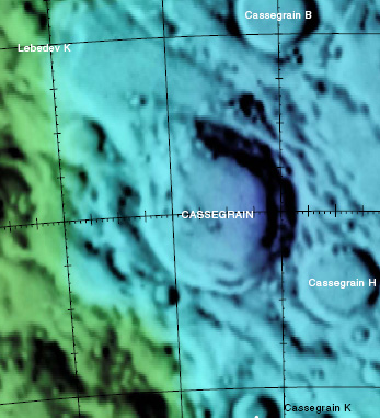
Right : Color-coded Lac 130 from USGS Digital Atlas
Images
LPOD Photo Gallery Lunar Orbiter Images Apollo Images
Maps
(LAC zone 130A3) USGS Digital Atlas PDF
Description
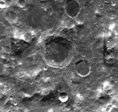
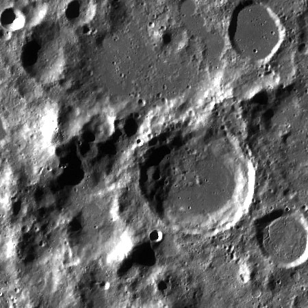
Cassegrain lies in a lower region of terrain similar in altitude to the Planck Basin off to its south-east and to the Australe Basin off to its north-west -- both of the pre-Nectarian period (~ 4.6 to 3.92 bn years). The crater's rim and inner terracing has taken on an old appearance, however, remains of its north-western sector seems to have slumped down into the floor producing a series of hummocky hills in the area. In contrast, the remaining floor looks relatively flat with the odd impact coming through, but like Cassegrain B to its north-east and Cassegrain H to its south-east, the material is more darker -- possibly due to the deeper underlying lava deposits.- JohnMoore2
Description: Wikipedia
Additional Information
Nomenclature
- Laurent; French astronomer, doctor (1629-1693).
  - Cassegrain mountain/ Cassegrain peak/ Mons Cassegrain: three unofficial names for the mountainous mass immediately west-northwest of Cassegrain itself. This mountain is observable during very favourable libration of the moon's southeastern limb. The coordinates of Mons Cassegrain are: 51°30' South/ 109°30' East (see page 260 in B.Bussey's and P.Spudis's Clementine Atlas)(LAC 130).
  - Mons Cassegrain is a favourite telescopic object of the dedicated moon observer and LPOD contributor Patricio Leon (Nunki). See LPOD Still on the Limb.
  - Mons Cassegrain was captured near the central parts of the right margins of Lunar Orbiter 4's frames LO4-009-h1 and LO4-011-h1.
  Research: Patricio Leon (Nunki)
LPOD Articles
Bibliography


