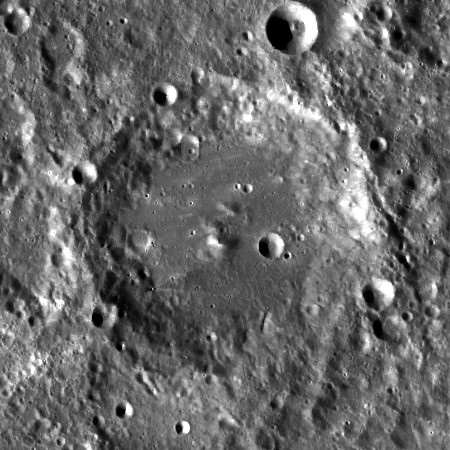
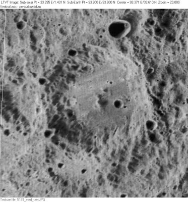
Vestine
Contents
Vestine
| Lat: 33.9°N, Long: 93.9°E, Diam: 96 km, Depth: km, Rükl: (farside) |

left: LO-V-181M . right: LROC
Images
LPOD Photo Gallery Lunar Orbiter Images Apollo Images
- Vestine is also depicted on Apollo 16's color-Hasselblad AS16-121-19445; a bit to the right of the central part of the frame's left margin. See also AS16-121-19434, on which it is visible about halfway between the frame's centre and upper left corner.
- Research: Danny Caes.
Maps
(LAC zone 29D3) USGS Digital Atlas PDF
Description
Description: Wikipedia
Additional Information
Nomenclature
Ernest Harry; American geophysicist (1906-1968).
- Although Vestine appears in the cumulative list of approved names in IAU Transactions XVB, it is not clear precisely when and where this libration zone feature name was approved. - Jim Mosher
LPOD Articles
Bibliography
