Maupertuis
Contents
Maupertuis
|
Lat: 49.6°N, Long: 27.3°W, Diam: 45 km, Depth: 1.35 km, Rükl: 2, Lower Imbrian |
Images
LPOD Photo Gallery Lunar Orbiter Images
Maps
(LAC zone 11C3) LAC map Geologic map
Description
Description: Elger
(IAU Directions) MAUPERTUIS.--A great mountain enclosure of irregular shape, about 20 miles in diameter, in the midst of the Sinus Iridum highlands, N. of Laplace. The walls are much broken by passes, and the interior includes many hills and ridges.
Description: Wikipedia
Additional Information
Depth data from Kurt Fisher database
- Westfall, 2000: 1.35 km
- Cherrington, 1969: 1.7 km
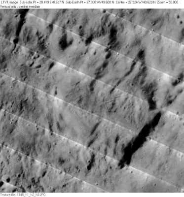
- The shadows cast by the small segment of rim in the southeast indicate height differences of 1300-1500 m. - Jim Mosher
- Covered by ejecta from Iridum. - tychocrater Oct 21, 2007
Nomenclature
- Pierre Louis Moreau de; French mathematician (1698-1759).
  - Maupertuis was misprinted as MAUPERTIUS ("IU" instead of "UI") on LAC 11 (page 23) in the REVISED AND UPDATED EDITION of the Clementine Atlas of the Moon (Cambridge University Press, 2012).- DannyCaes Jan 7, 2013
LPOD Articles
Bibliography
