Firsov
Contents
Firsov
| Lat: 4.5°N, Long: 112.2°E, Diam: 51 km, Depth: km, Rükl: (farside) |


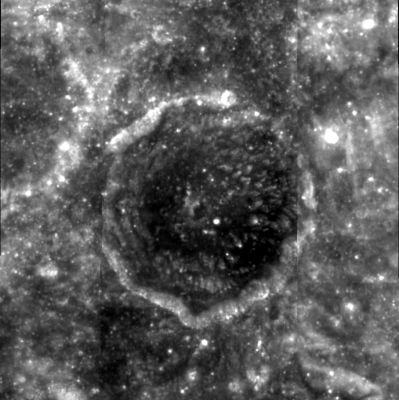
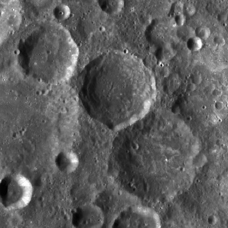
left: Clementine . right: LROC . Firsov at center, flanked by satellite craters V and K
Images
LPOD Photo Gallery Lunar Orbiter Images Apollo Images
- AS17-147-22462 shows Apollo 17's CSM America above craters Firsov T' (lower left corner) and the bright crater Al-Khwarizmi K (above and left of centre).
Note: this photograph is one of a series which show the interior of the Service Propulsion System's bell (the cone-shaped SPS-bell at the rear of CSM Americas Service Module). The preceding photographs in this series show the rotation of the CSM.
- Research: Danny Caes
Maps
(LAC zone 65D1) USGS Digital Atlas PDF
Description
Description: Wikipedia
Additional Information
Nomenclature
Georgij F. Firsov; Soviet rocketry engineer (1917-1960).
  Not to be confused with Valdemar Axel Firsoff (1912-1981, Swedish-English astronomer).
LPOD Articles
Bibliography