Galois
Contents
Galois
| Lat: 14.2°S, Long: 151.9°W, Diam: 222 km, Depth: km, Rükl: (farside), pre-Nectarian |
Table of Contents
[#Galois Galois]
[#Galois-Images Images]
[#Galois-Maps Maps]
[#Galois-Description Description]
[#Galois-Description: Wikipedia Description: Wikipedia]
[#Galois-Additional Information Additional Information]
[#Galois-Nomenclature Nomenclature]
[#Galois-LPOD Articles LPOD Articles]
[#Galois-Bibliography Bibliography]


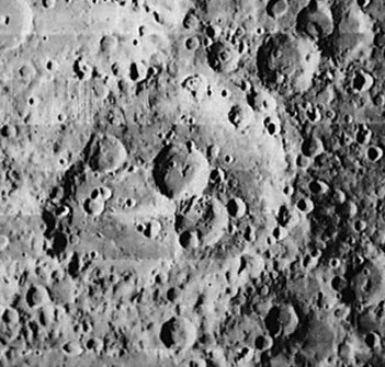
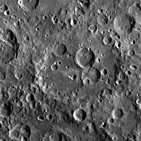
left: Lunar Orbiter I . right: LROC . Galois eroded rim is better recognized in eastern sector. Note prominent [/South%20Pole%20-%20Aitken%20basin South Pole - Aitken basin] rim at bottom image.
Images
LPOD Photo Gallery Lunar Orbiter Images Apollo Images
Frame 36, made by Zond 8, shows most of Galois near the frame's left margin.
Research: Danny Caes
Maps
([/LAC%20zone LAC zone] 87C3) USGS Digital Atlas PDF
Description
Description: Wikipedia
Additional Information
Nomenclature
- Evariste; French mathematician (1811-1832).
- The name Galois was printed as GALLOIS on page 175 of the Clementine Atlas (in both the 2004 and 2012 editions). - DannyCaes DannyCaes Mar 10, 2014
LPOD Articles
Bibliography
This page has been edited 1 times. The last modification was made by - tychocrater tychocrater on Jun 13, 2009 3:24 pm - afx3u2