Boyle
Contents
Boyle
| Lat: 53.1°S, Long: 178.1°E, Diam: 57 km, Depth: km, Rükl: (farside) | |
Images
LPOD Photo Gallery Lunar Orbiter Images Apollo Images
Maps
(LAC zone 132B4) USGS Digital Atlas PDF
Description
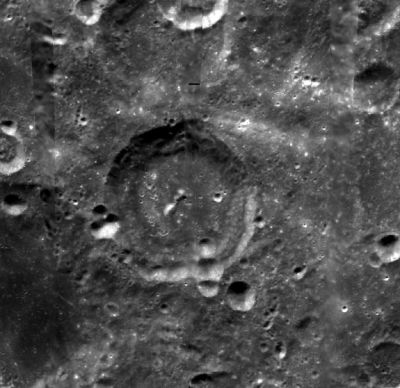
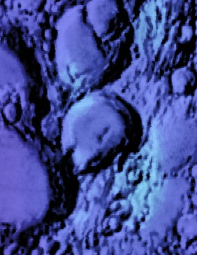
Boyle is a crater of the pre-Nectarian period (~ 4.6 to 3.92 bn years), and lies very close to the central region (54.2S, 168.7W) of the South Pole Aitken Basin -- a 2500 kilometre-wide basin created during the same period. The crater looks relatively fresh for its age -- displaying a sharp-ish rim all around, but whose southern parts have experienced a series of bombardment. An obvious-looking groove running from the crater's eastern rim right along towards the south-west section has formed between landslided material and a once terrace. Is the unusual-looking groove, perhaps, the result of natural slumping afterwards between the two contact points, or, have subsequent impacts in the region played, in part, a role, causing the clump of material to slide inwards further onto Boyle's floor?- JohnMoore2 JohnMoore2
Description: Wikipedia
Additional Information
Nomenclature
Robert; British natural philosopher, chemist (1627-1691).
LPOD Articles
Bibliography

