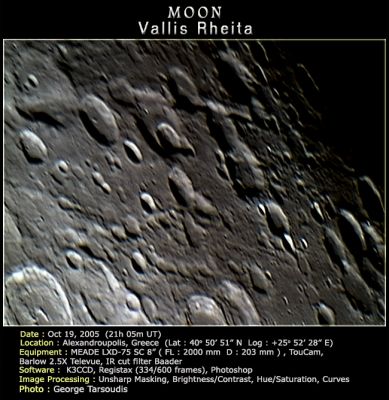
Vallis Rheita
Contents
[hide]Vallis Rheita
|
Lat: 42.5°S, Long: 51.5°E, Length: 445 km, Depth: -2.57 km, Rükl: 68 |
Images
LPOD Photo Gallery Lunar Orbiter Images Apollo Images
Maps
(LAC zone 114C1) LAC map Geologic map
Description
Description: Wikipedia
Additional Information
- Depth data from Kurt Fisher database
Cherrington, 1969: -2.57 km (this seems way too deep) - Magnetic field anomaly and nearby gravity anomaly (broad). Milbury et al, 2008
Nomenclature
Named from nearby crater. (Rheita)
LPOD Articles
Lunar 100
L58: Basin secondary-crater chain.
Bibliography
A Portfolio of Lunar Drawings (Harold Hill), pages 234, 235, 236, 237, 238.
