Sumner
Contents
Sumner
| Lat: 37.5°N, Long: 108.7°E, Diam: 50 km, Depth: km, Rükl: (farside) |


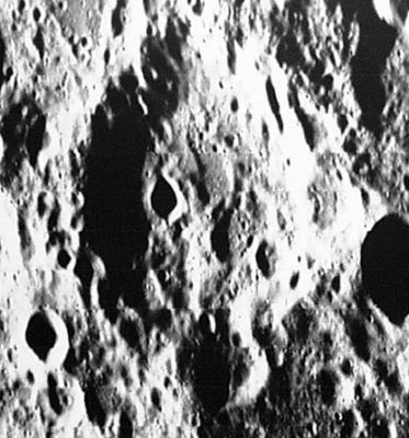
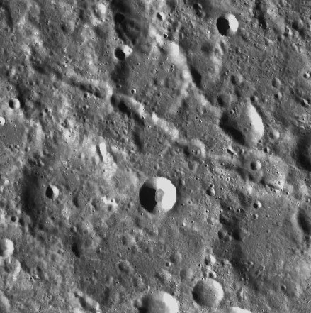
left: Lunar Orbiter V 181-H1 . right: LROC . Sumner is the eroded crater left of center; Catena Sumner crossing the frame diagonally at upper sector
Images
LPOD Photo Gallery Lunar Orbiter Images Apollo Images
Sumner and Catena Sumner were captured near the lower right corner of Apollo 16's Fairchild-camera photograph AS16-M-3005, which was made during Trans Earth Coast (TEC).
Research: Danny Caes
Maps
(LAC zone 30D1) USGS Digital Atlas PDF
Description
Description: Wikipedia
Additional Information
Nomenclature
Thomas Hubbard; American geographer, navigator (1807-1876).
LPOD Articles
Bibliography