Florensky
Contents
Florensky
(Formerly Vernadskiy B)Table of Contents
[#Florensky Florensky]
[#Florensky-Images Images]
[#Florensky-Maps Maps]
[#Florensky-Description Description]
[#Florensky-Description: Wikipedia Description: Wikipedia]
[#Florensky-Additional Information Additional Information]
[#Florensky-Nomenclature Nomenclature]
[#Florensky-LPOD Articles LPOD Articles]
[#Florensky-Bibliography Bibliography]
| Lat: 25.3°N, Long: 131.5°E, Diam: 71 km, Depth: km, Rükl: (farside) |


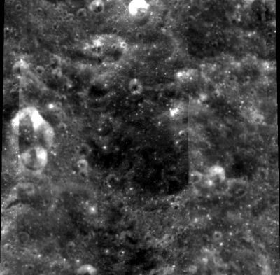
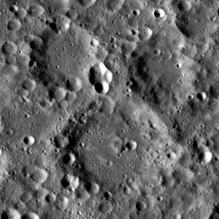
left: Clementine . right: LROC . Florensky at upper right, Vernadskiy at lower center. Heavily battered and ejecta filled terrain from nearby Moscoviense basin impact
Images
LPOD Photo Gallery Lunar Orbiter Images Apollo Images
Maps
(LAC zone 48A4) USGS Digital Atlas PDF
Description
Description: Wikipedia
Additional Information
Nomenclature
Kirill Pavlovich; Soviet geologist (1915-1982).
  - Although the name Florensky was approved in 1985, it is absent in the first edition of the book Who's Who on the Moon; a Biographical Dictionary of Lunar Nomenclature by Elijah E. Cocks and Josiah C. Cocks (Tudor Publishers, 1995). Error detected by Danny Caes.
LPOD Articles
Bibliography
This page has been edited 1 times. The last modification was made by - tychocrater tychocrater on Jun 13, 2009 3:24 pm - afx3u2